قائمة الأنهار في سريلانكا
(تم التحويل من List of rivers in Sri Lanka)

الجدول التالي يسرد معظم أنهار سريلانكا. Since Sri Lanka is a trilingual country, some rivers may have a Sinhala name (أي كالو جانجا), while other have an English or a Tamil name (i.e. Kelani River). There are two words meaning "river" in the Sinhala language, namely Ganga (ගඟ) and Oya (ඔය), of which the usage of both terms is arbitrary. At 335 km (208 mi), the Mahaweli River is the longest river on the island, its drainage basin covering more than one-fifth of the island. It is estimated that there are 103 rivers in Sri Lanka.[1]
قائمة الأنهار الرئيسية (أطول من 100 كم)


.jpg&filetimestamp=20260101013426&)


List of minor rivers (up to 100km in length)
Malala oya - Hambanthota District karanda Oya - Potuvil Ampara District Heda Oya - Arugambay (Arunagamthota), Ampare District wil oya - Ampara District
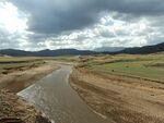
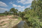
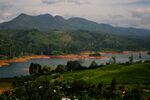
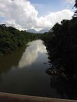
معرض صور
-
-
-

-
-
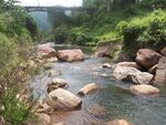 Maskeliya Oya, a tributary of Kelani River
 -
Belihul Oya, a tributary of Walawe River
-


.JPG)
انظر أيضا
المراجع
- ^ Grade 11 Geography textbook.
- ^ أ ب ت "Horton Plains National Park". International Water Management Institute. Archived from the original on August 5, 2010. Retrieved 23 November 2009.
{{cite web}}: CS1 maint: unfit URL (link)