ملف:Thessaloniki Prefecture, Greece - political map - low detail - numbered.svg

الملف الأصلي (ملف SVG، أبعاده 1٬052 × 744 بكسل، حجم الملف: 368 كيلوبايت)
وصف قصير
| ⧼wm-license-information-description⧽ |
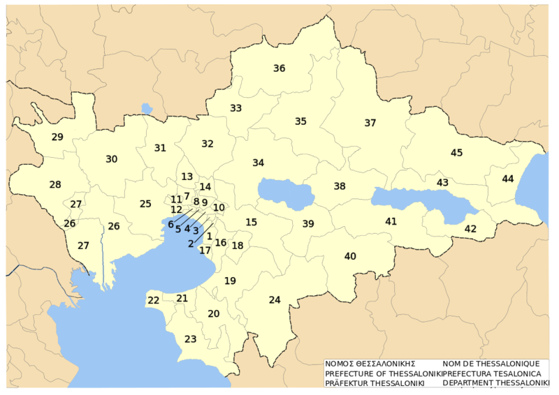
English: w:en:Thessaloniki prefecture, w:en:Greece. Low-detail political map on dimos level. With Numbers. |
| ⧼wm-license-information-date⧽ | 2007 |
| ⧼wm-license-information-source⧽ | self-made after specimen to be found at Official political map of municipalities and municipal districts of Thessaloniki prefecture. Published by Prefecture's administration. Accessed on 2007-08-30 |
| ⧼wm-license-information-author⧽ | Christaras A |
ترخيص
|

تاريخ الملف
اضغط على زمن/تاريخ لرؤية الملف كما بدا في هذا الزمن.
| زمن/تاريخ | صورة مصغرة | الأبعاد | مستخدم | تعليق | |
|---|---|---|---|---|---|
| حالي | 09:57، 25 يونيو 2010 | | 1٬052 × 744 (368 كيلوبايت) | Shafei (نقاش | مساهمات) |
لا يمكنك استبدال هذا الملف.
وصلات
الصفحات التالية تحتوي على وصلة لهذه الصورة: