تلة كليف
| Cleeve Hill | |
|---|---|
 Cleeve Hill Cleeve Hill in Gloucestershire | |
| أعلى نقطة | |
| الارتفاع | 330 m (1،080 ft)[1] |
| البروز | 242 m (794 ft) |
| القمة الأم | The Wrekin |
| الإدراج | Marilyn, County Top |
| الإحداثيات | 51°55′12″N 2°00′25″W / 51.920°N 2.007°W |
| الجغرافيا | |
| Location | Gloucestershire, England |
| السلسلة الأم | Cotswolds |
| OS grid | SO996246 |
| الخريطة الطبوغرافية | OS Landranger 163 OS Explorer 179 |
| الجيولوجيا | |
| عمر الصخر | Jurassic |
| نوع الجبل | Sedimentary |
| التسلق | |
| أسهل السبل | Hike |
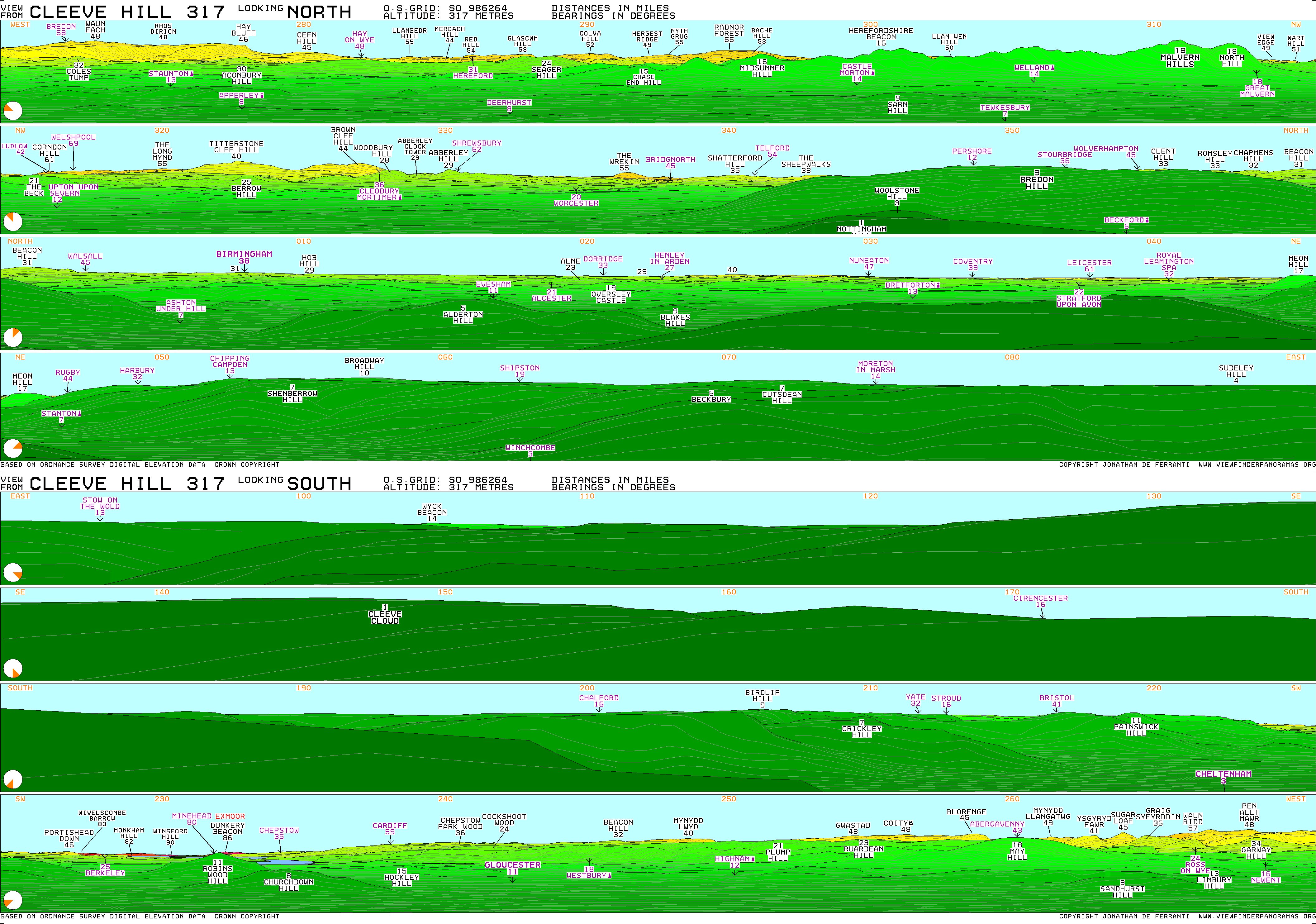
تلة كليف (بالإنجليزية: Cleeve Hill) هي أعلى نقطة في سلسلة الكوتسوولدز. يبلغ ارتفاعها 330 مترا.[2]
انظر أيضا
- برج برودواي - ثاني أعلى نقطة في الكوتسوولدز.
- شلتنهام
المراجع
- ^ Bathurst, David (2012). Walking the county high points of England. Chichester: Summersdale. pp. 155–160. ISBN 978-1-84-953239-6.
- ^ Guide To Cheltenham UK Cleeve Hill
وصلات خارجية
تصنيفات:
- Pages using gadget WikiMiniAtlas
- Use dmy dates from April 2022
- Coordinates on Wikidata
- Articles with OS grid coordinates
- Pages using infobox mountain with unknown parameters
- Marilyns of England
- Hills of Gloucestershire
- Hill forts in Gloucestershire
- Cotswolds
- Highest points of English counties
- Mountains and hills of the United Kingdom with toposcopes
- شلتنهام
- جبال المملكة المتحدة