سهب


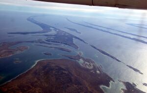
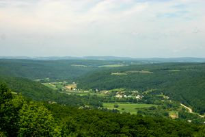
السهب أو شبه السهل Peneplain هو أرض جبلية تمهدت وقاربت الاستواء بفعل عوامل التعرية.
ويبدو أن هذه السهوب التي تكثر في المناطق الرطبة يبدأ تكوينها عندما تجرف المياه المتدفقة الصخور والتربة العالقة بسفوح وقيعان الأودية الضيقة التي تشكلت على شكل الرقم (V)، وتستمر عملية التعرية هذه لملايين السنين حتى تجرف المياه أدني مستوى تستطع أن تصله، وتتحول الأرض إلى سهول منبسطة. وفي بعض الأحيان تظهر نتوءات منخفضة متفرقة على سطح السهل المنبسط تعرف بالقمم المتطابقة.
وقد ترفع حركات القشرة الأرضية مستوى السهب أو تحدث تشققات وربما فيضانات، وعندئذ تعاود التعرية دورها مرة أخرى.
مفهوم السهب طوره، سنة 1900، عالما مورفولوجيا الأرض وليام موريس ديڤيس ووالتر پنك، أحياناً مقترنة مع نظرية دورة التآكل التي أتى بها وليام موريس ديڤيس.[1][A] ولكن ديڤس وآخرين استخدموا المصطلح بشكل وصفي بحت بدون أي نظرية أو تكوين مقترن.[3]
أنواع السهوب
There are various terms for landforms that are either alternatives to classical peneplains, a sub-set of peneplains or partially overlap with the term. The last is the case of planation surfaces that may be peneplains or not, while some peneplains are not planation surfaces.[4]
In their 2013 work Green, Lidmar-Bergström and co-workers provide the following classification scheme for peneplains:[4]
- Planation surfaces
- Hilly relief
- Etched hilly relief
انظر أيضاً
ملاحظات
- ^ The term was coined around 1900 by William Morris Davis who described it as follows: Given sufficient time for the action of denuding forces on a mass of land standing fixed with reference to a constant base-level, and it must be worn down so low and so smooth, that it would fully deserve the name of a plain. But it is very unusual for a mass of land to maintain a fixed position as long as is here assumed.... I have therefore elsewhere suggested that an old region, nearly base-levelled, should be called an almost-plain; that is a peneplain.[1][2]
المراجع
- ^ أ ب خطأ استشهاد: وسم
<ref>غير صحيح؛ لا نص تم توفيره للمراجع المسماةPhillips - ^ Chorley, R.J. (1973). The History and Study of Landforms or The Development of Geomorphology. Vol. Two: The Life and Work of William Morris Davis, Methuen.
- ^ Fairbridge, Rhodes W.; Finkl Jr., Charles W. (1980). "Cratonic erosion unconformities and peneplains". The Journal of Geology. 88 (1): 69–86. Bibcode:1980JG.....88...69F. doi:10.1086/628474. S2CID 129231129.
- ^ أ ب خطأ استشهاد: وسم
<ref>غير صحيح؛ لا نص تم توفيره للمراجع المسماةGreenetal2013