خليج نيوپورت (كاليفورنيا)

Coordinates: 33°36′30″N 117°54′33″W / 33.60833°N 117.90917°W
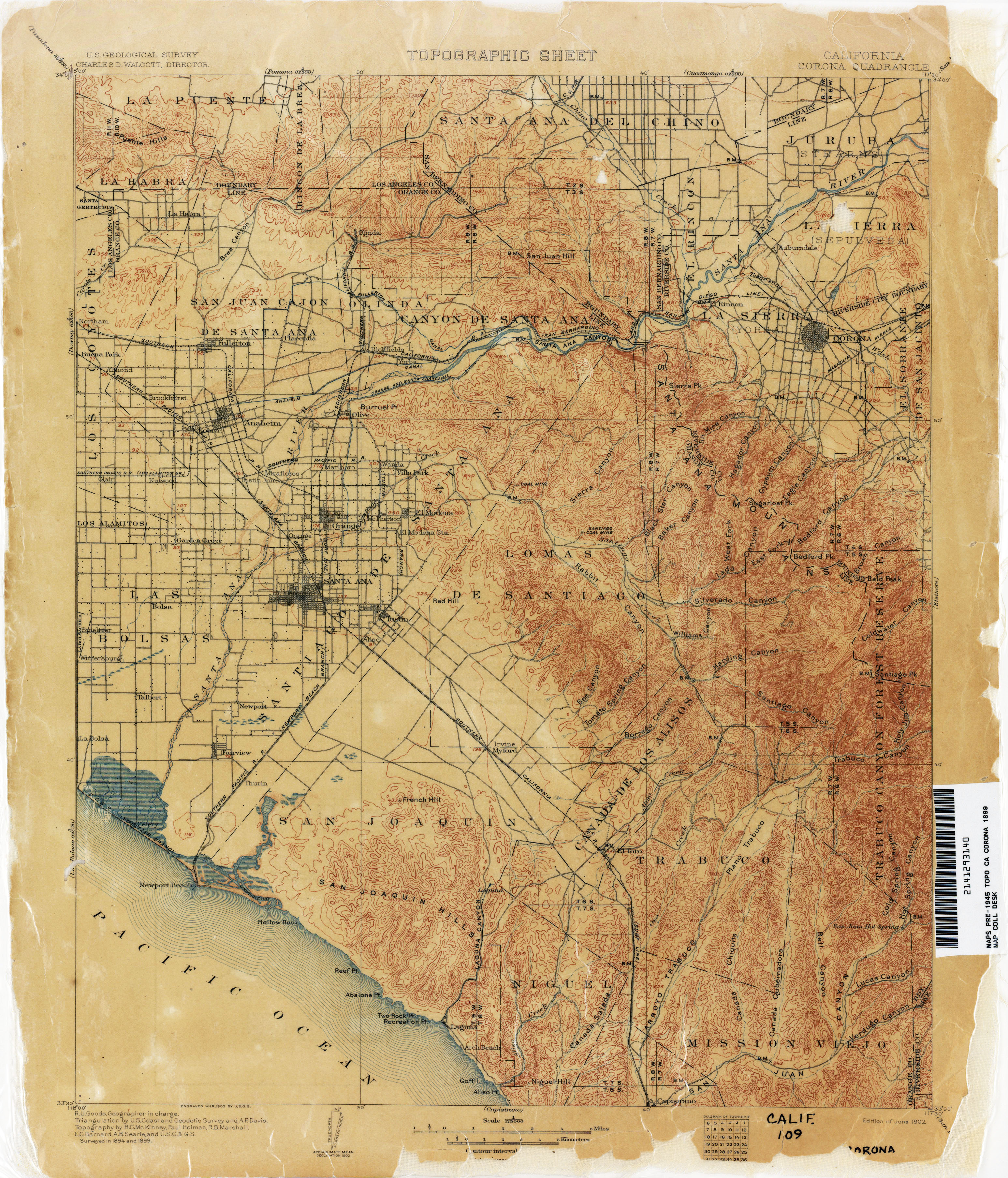
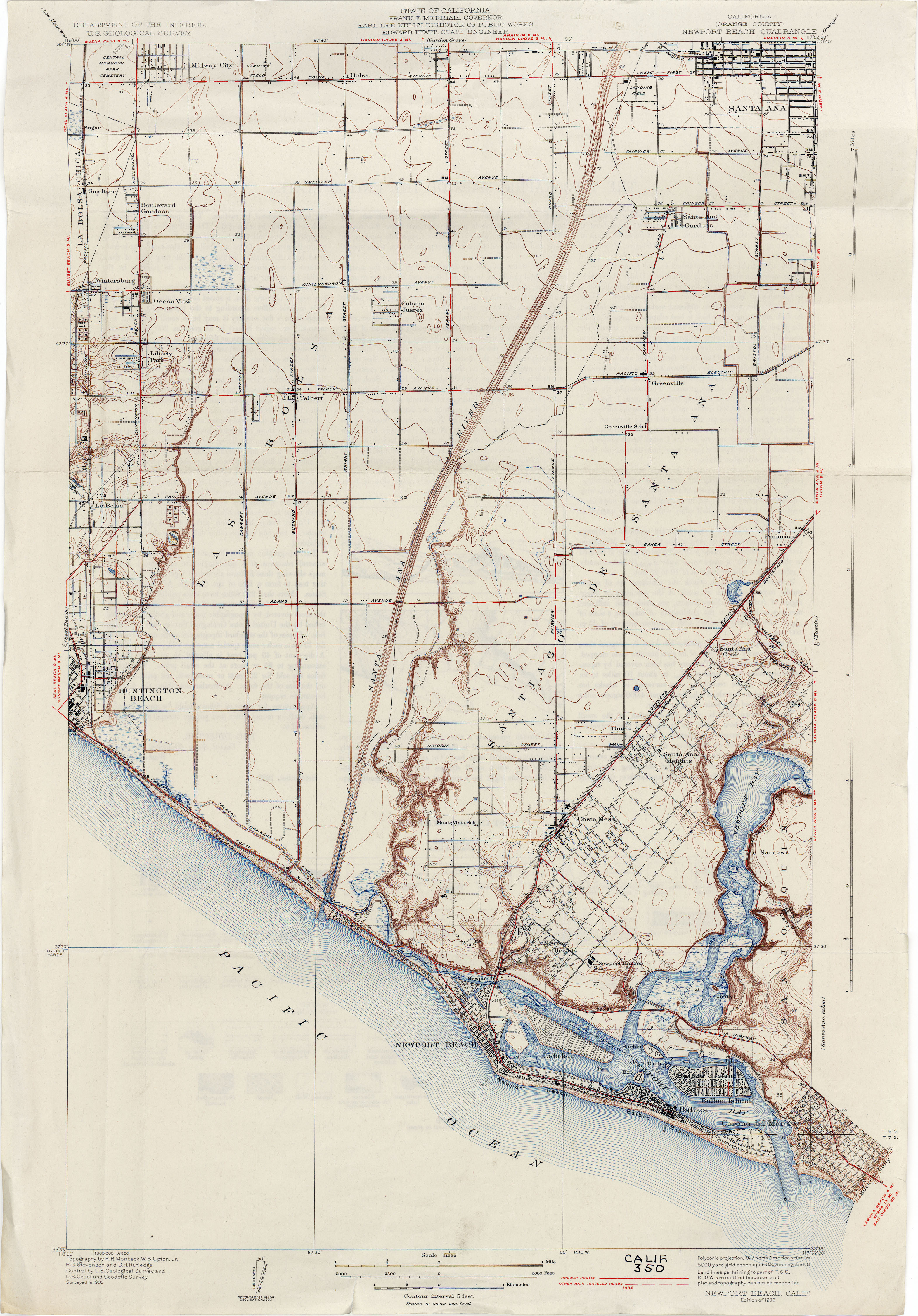
خليج نيوپورت أو نيوپورت باي Newport Bay، في جنوب كاليفورنيا، الولايات المتحدة، هو الخليج السفلي المتكون بطول الساحل تحت خليج نيوپورت العلوي، بعد نهاية الپلايستوسين. وقد تشكل بالرمال، التي تجلبها تيارات المحيط من نهر سانتا آنا والأنهار الأخرى إلى الشمال، والتي أنشأت شاطئاً داخل المحيط، ويسمى الآن شبه جزيرة بالبوا.[1] The bay was named by the Spanish Bolsa de Gengar in the 18th century, to refer to the nearby Tongva and Acjachemen village of Genga.[2] An estuary of the Santa Ana River in the late 19th century, it was dredged to form Newport Harbor, the harbor of Newport Beach.[1][3][4]

. . . . . . . . . . . . . . . . . . . . . . . . . . . . . . . . . . . . . . . . . . . . . . . . . . . . . . . . . . . . . . . . . . . . . . . . . . . . . . . . . . . . . . . . . . . . . . . . . . . . . . . . . . . . . . . . . . . . . . . . . . . . . . . . . . . . . . . . . . . . . . . . . . . . . . . . . . . . . . . . . . . . . . . .
المراجع
- ^ أ ب USGS Map Name: Corona, CA 1899 1:125,000; Perry–Castañeda Library Map Collection; California Topographic Maps from http://www.lib.utexas.edu accessed 4/25/2013
- ^ Koerper, Henry; Mason, Roger; Peterson, Mark (2002). Catalysts to complexity : late Holocene societies of the California coast. Jon Erlandson, Terry L. Jones, Jeanne E. Arnold, Cotsen Institute of Archaeology at UCLA. Los Angeles: Cotsen Institute of Archaeology at UCLA. p. 64. ISBN 978-1-938770-67-8. OCLC 745176510.
- ^ USGS Map Name: Newport Beach (Orange County), Calif., 1932, (1927 data), 1:31,680; Perry–Castañeda Library Map Collection; California Topographic Maps from http://www.lib.utexas.edu accessed 8/30/2013
- ^ Newport Bay, California, on USGS Map Name: Newport Beach, CA, Map Center: N33° 36' 30" W117° 54' 33" from topoquest.com accessed on 4/23/2013