ملف:YaldingBeult0514.JPG
حجم هذه المعاينة: 800 × 600 بكسل. البعد الآخر: 2٬016 × 1٬512 بكسل.
الملف الأصلي (2٬016 × 1٬512 بكسل حجم الملف: 749 كيلوبايت، نوع MIME: image/jpeg)
وصف قصير
| Description |
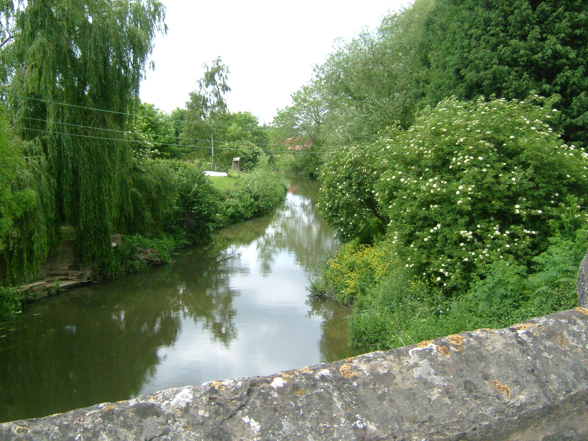
English: View from Yalding Bridge or Town Bridge, on the River Beult at Yalding, Kent. Riverside homes on the River Beult at Yalding behind the post office, just before it joins the Medway. At Yalding there is an automatic sluice where the Medway drops from +11.2m to +7.41m above mean sea level (which it is here). The navigation bears left through Hampstead Lane Canal and Hampstead Lock; the main stream drops over the weir and sluice and is joined by the River Teise (Lesser Teise), and both pass under Twyford Bridge. The river then flows in a loop towards Yalding, where it is joined by the River Beult which has been joined by the River Teise (the other bit!) and passes under Town Bridge. Town bridge is 10 miles from Allington. Town bridge is the longest mediaeval bridge in Kent. |
| Date | 2007-05 |
| Source | Own work |
| Author | Clem Rutter, Rochester, Kent. |
ترخيص
قالب:Cc-by-sa-3.0-migrated |

تاريخ الملف
اضغط على زمن/تاريخ لرؤية الملف كما بدا في هذا الزمن.
| زمن/تاريخ | صورة مصغرة | الأبعاد | مستخدم | تعليق | |
|---|---|---|---|---|---|
| حالي | ★ مراجعة معتمدة 19:26، 3 نوفمبر 2023 | | 2٬016 × 1٬512 (749 كيلوبايت) | Pastakhov (نقاش | مساهمات) | Upload https://upload.wikimedia.org/wikipedia/commons/e/e9/YaldingBeult0514.JPG |
لا يمكنك استبدال هذا الملف.
وصلات
لا يوجد صفحات تصل لهذه الصورة.