ملف:Wollnerstraße.jpg
حجم هذه المعاينة: 800 × 450 بكسل. البعدان الآخران: 2٬560 × 1٬440 بكسل | 4٬032 × 2٬268 بكسل.
الملف الأصلي (4٬032 × 2٬268 بكسل حجم الملف: 4٫01 ميجابايت، نوع MIME: image/jpeg)
وصف قصير
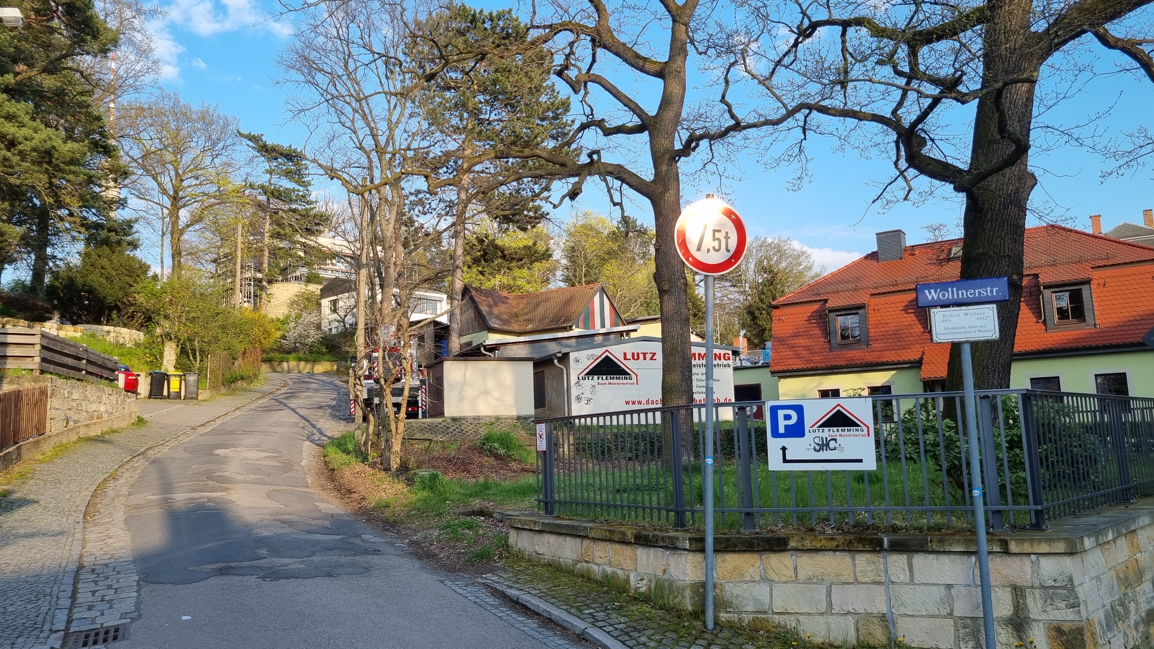
| Description | Wollnerstraße |
| Source | Own work |
| Author | Erfurth |
| Object location | | View all coordinates using: OpenStreetMap |
|---|
ترخيص
|
تاريخ الملف
اضغط على زمن/تاريخ لرؤية الملف كما بدا في هذا الزمن.
| زمن/تاريخ | صورة مصغرة | الأبعاد | مستخدم | تعليق | |
|---|---|---|---|---|---|
| حالي | ★ مراجعة معتمدة 07:24، 14 نوفمبر 2023 | | 4٬032 × 2٬268 (4٫01 ميجابايت) | Pastakhov (نقاش | مساهمات) | Upload https://upload.wikimedia.org/wikipedia/commons/4/4a/Wollnerstra%C3%9Fe.jpg |
لا يمكنك استبدال هذا الملف.
وصلات
لا يوجد صفحات تصل لهذه الصورة.