ملف:West Burlington Township.PNG
حجم هذه المعاينة: 800 × 599 بكسل. البعد الآخر: 2٬299 × 1٬722 بكسل.
الملف الأصلي (2٬299 × 1٬722 بكسل حجم الملف: 134 كيلوبايت، نوع MIME: image/png)
وصف قصير
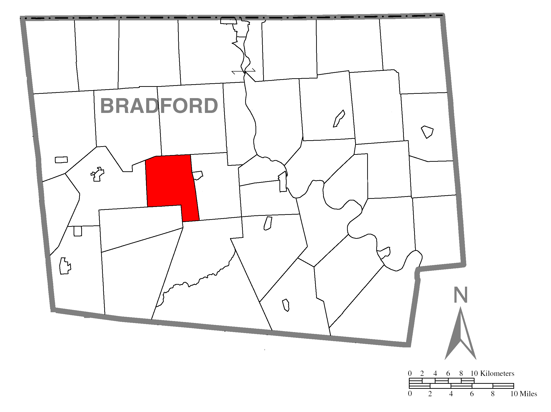
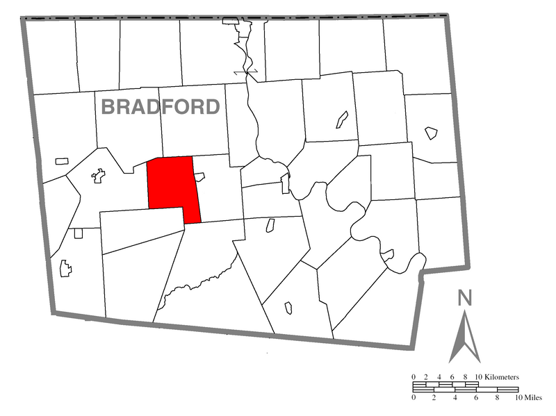
Map of Bradford County, Pennsylvania, United States with township and municipal boundaries highlighting West Burlington Township is taken from US Census website[1] and modified by Ruhrfisch in April 2006 and Dincher in February 2008. Our modifications licensed under the GNU Free Documentation License.
Source: US Census website [2]
ترخيص

|
تاريخ الملف
اضغط على زمن/تاريخ لرؤية الملف كما بدا في هذا الزمن.
| زمن/تاريخ | صورة مصغرة | الأبعاد | مستخدم | تعليق | |
|---|---|---|---|---|---|
| حالي | ★ مراجعة معتمدة 18:14، 19 يناير 2024 | | 2٬299 × 1٬722 (134 كيلوبايت) | Pastakhov (نقاش | مساهمات) | Upload https://upload.wikimedia.org/wikipedia/commons/3/34/West_Burlington_Township.PNG |
لا يمكنك استبدال هذا الملف.
وصلات
لا يوجد صفحات تصل لهذه الصورة.