ملف:Trångsund.jpg
حجم هذه المعاينة: 450 × 600 بكسل. البعدان الآخران: 1٬536 × 2٬048 بكسل | 3٬024 × 4٬032 بكسل.
الملف الأصلي (3٬024 × 4٬032 بكسل حجم الملف: 5٫63 ميجابايت، نوع MIME: image/jpeg)
وصف قصير
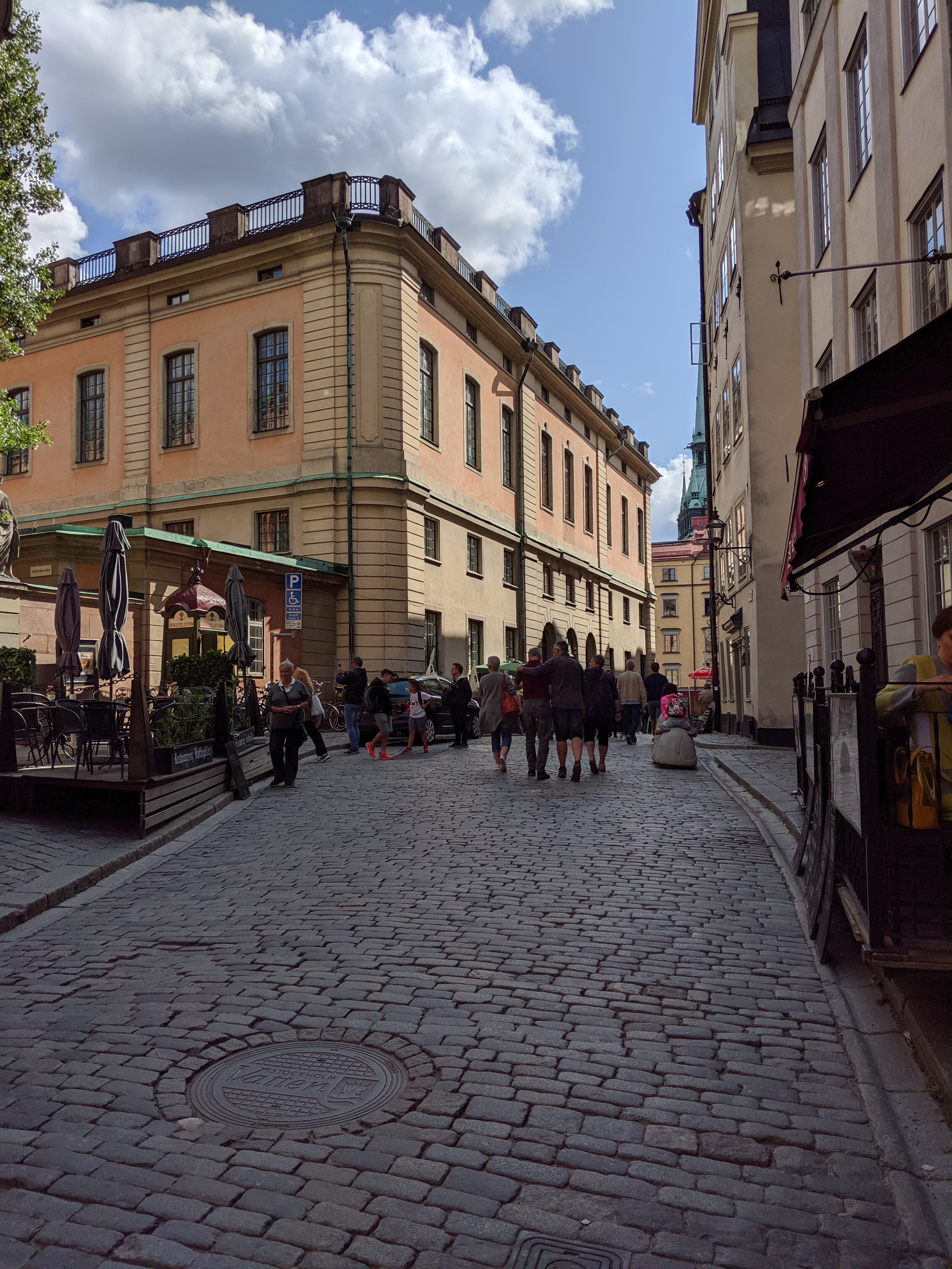
| Description | Trångsund |
| Source | Own work |
| Author | Magnus Manske |
59°19′31.84″N 18°4′11.98″E / 59.3255111°N 18.0699944°E
| Object location | | View all coordinates using: OpenStreetMap |
|---|
ترخيص
|
تاريخ الملف
اضغط على زمن/تاريخ لرؤية الملف كما بدا في هذا الزمن.
| زمن/تاريخ | صورة مصغرة | الأبعاد | مستخدم | تعليق | |
|---|---|---|---|---|---|
| حالي | ★ مراجعة معتمدة 23:48، 5 أكتوبر 2023 | | 3٬024 × 4٬032 (5٫63 ميجابايت) | Pastakhov (نقاش | مساهمات) | Upload https://upload.wikimedia.org/wikipedia/commons/e/e6/Tr%C3%A5ngsund.jpg |
لا يمكنك استبدال هذا الملف.
وصلات
لا يوجد صفحات تصل لهذه الصورة.