ملف:TettstedetBergen.jpg
حجم هذه المعاينة: 558 × 599 بكسل. البعد الآخر: 1٬105 × 1٬187 بكسل.
الملف الأصلي (1٬105 × 1٬187 بكسل حجم الملف: 817 كيلوبايت، نوع MIME: image/jpeg)
| Description |
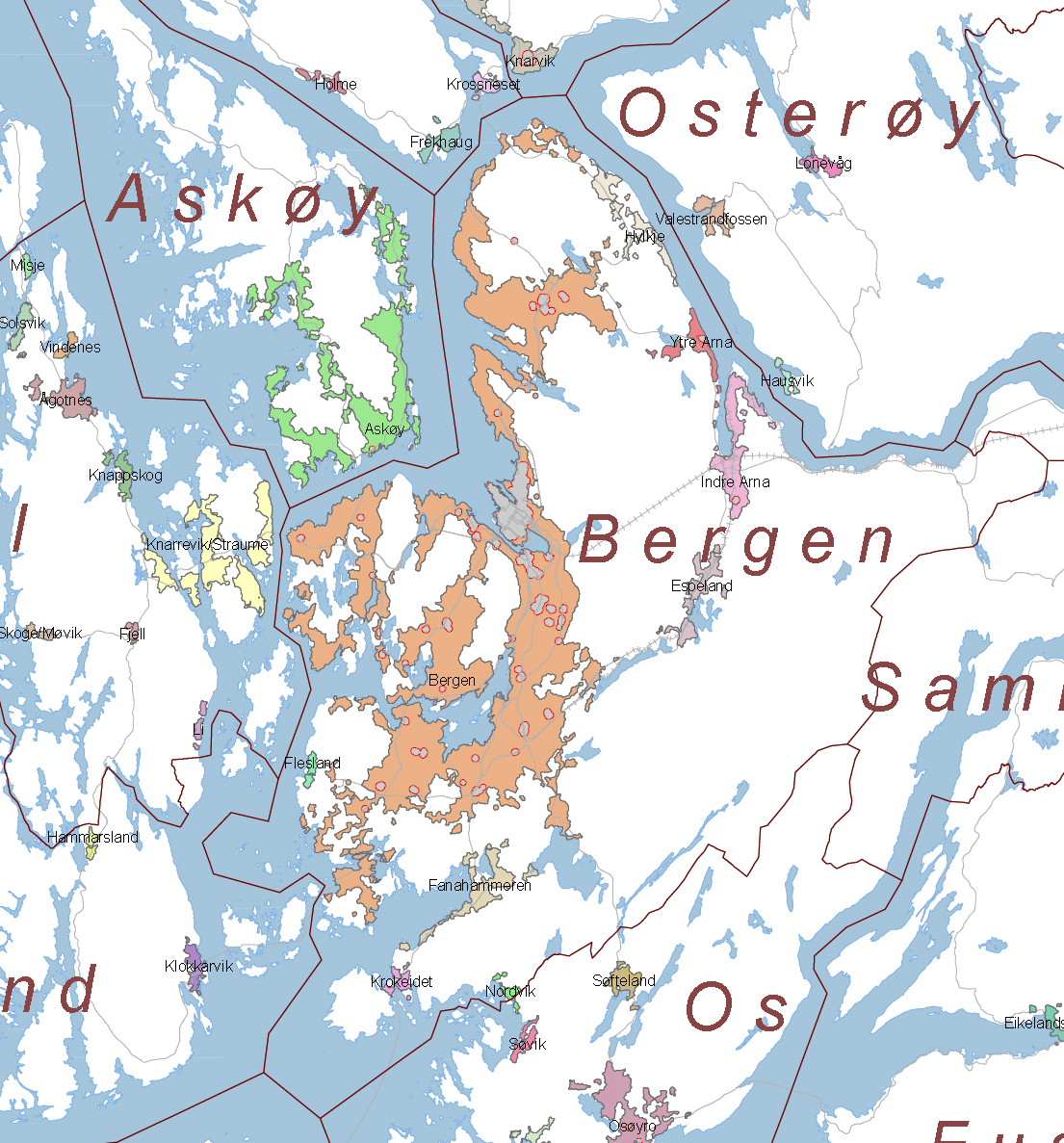
English: Map of the urban areas in Bergen and surrounding municipalities, as defined by en:Statistics Norway. The gray spots are central areas with high levels of commercial activity. |
| Date | 2005 |
| Source | http://www.ssb.no/tettstedkart/fylke12.pdf (cropped) |
| Author | Aqwis |
| ⧼wm-license-information-permission⧽ (⧼wm-license-information-permission-reusing-text⧽) |
Statistics Norway freely permits saving, printing, copying and spreading of the material on this web site (text, tables and figures). Statistics Norway must be credited when using the material. - translation of [1] |

|
تاريخ الملف
اضغط على زمن/تاريخ لرؤية الملف كما بدا في هذا الزمن.
| زمن/تاريخ | صورة مصغرة | الأبعاد | مستخدم | تعليق | |
|---|---|---|---|---|---|
| حالي | ★ مراجعة معتمدة 13:50، 10 نوفمبر 2023 | | 1٬105 × 1٬187 (817 كيلوبايت) | Pastakhov (نقاش | مساهمات) | Upload https://upload.wikimedia.org/wikipedia/commons/b/b5/TettstedetBergen.jpg |
لا يمكنك استبدال هذا الملف.
وصلات
لا يوجد صفحات تصل لهذه الصورة.