ملف:T J OBrien Lock and Dam.jpg
حجم هذه المعاينة: 800 × 533 بكسل. البعد الآخر: 1٬500 × 1٬000 بكسل.
الملف الأصلي (1٬500 × 1٬000 بكسل حجم الملف: 279 كيلوبايت، نوع MIME: image/jpeg)
| Description |
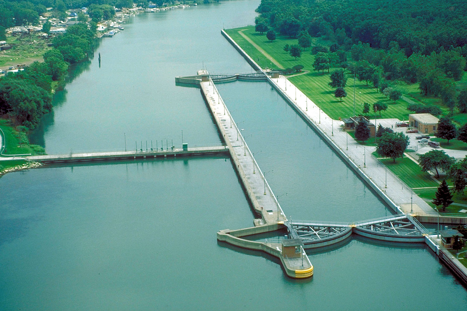
English: Aerial view of T.J. O’Brien Lock and Dam on the Calumet River, which is part of the Illinois Waterway. The dam is situated at river mile 326.5 on the Waterway (326.5 river miles up from the Mississippi River). T.J. O’Brien lock is the uppermost lock on the waterway, and there is not another barrier between the lock and Lake Michigan. There is very little elevation change in the lock, which serves mainly to regulate water flow from Lake Michigan into the waterway. The dam is located in Chicago, Illinois. |
| Date | 1992-06-01 |
| Source |
U.S. Army Corps of Engineers Digital Visual Library Image page Image description page Digital Visual Library home page |
| Author | Carol Arney, U.S. Army Corps of Engineers |
| ⧼wm-license-information-permission⧽ (⧼wm-license-information-permission-reusing-text⧽) |
قالب:PD-USGov-Military-Army-USACE |
| قالب:Location/i18n | Chicago, Illinois, USA |
تاريخ الملف
اضغط على زمن/تاريخ لرؤية الملف كما بدا في هذا الزمن.
| زمن/تاريخ | صورة مصغرة | الأبعاد | مستخدم | تعليق | |
|---|---|---|---|---|---|
| حالي | ★ مراجعة معتمدة 03:30، 28 نوفمبر 2023 | | 1٬500 × 1٬000 (279 كيلوبايت) | Pastakhov (نقاش | مساهمات) | Upload https://upload.wikimedia.org/wikipedia/commons/6/6b/T_J_OBrien_Lock_and_Dam.jpg |
لا يمكنك استبدال هذا الملف.
وصلات
لا يوجد صفحات تصل لهذه الصورة.