ملف:South Mumbai as at 2013.png
حجم هذه المعاينة: 446 × 600 بكسل. البعد الآخر: 2٬000 × 2٬690 بكسل.
الملف الأصلي (2٬000 × 2٬690 بكسل حجم الملف: 939 كيلوبايت، نوع MIME: image/png)
وصف قصير
| Description |
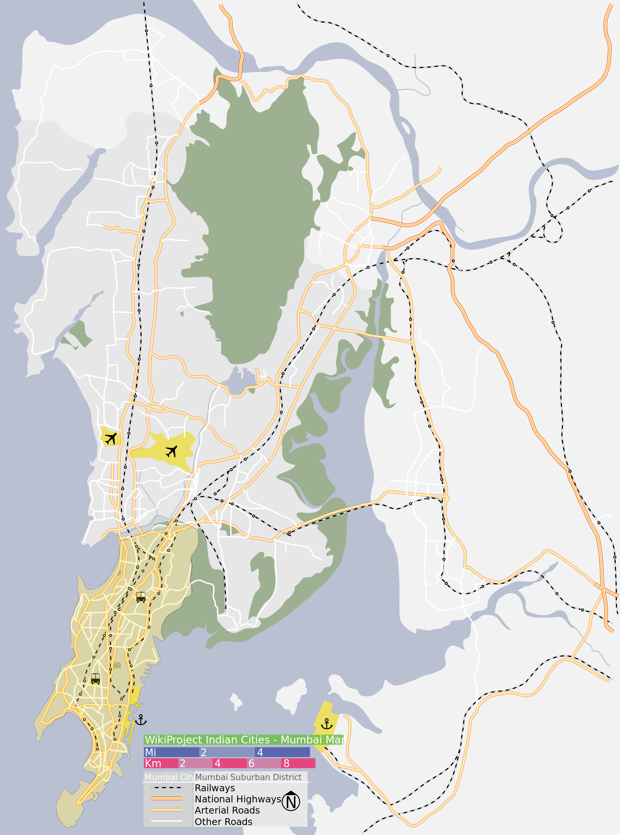
English: Map of Mumbai shaded to indicate South Mumbai |
| Date | 2013-06-28 12:19:58 |
| Source | File:Mumbai_area_locator_map.svg |
| Author |
|
| [This is a retouched picture, which means that it has been digitally altered from its original version. Modifications: shading of South Mumbai area, .png file version.. The original can be viewed here: Mumbai_area_locator_map.svg.] Error: {{Lang}}: text has italic markup (help)
|
قالب:Original upload log
This image is a derivative work of the following image:
- File:Mumbai area locator map.svg User:Planemad licensed with Cc-by-sa-3.0-migrated, GFDL
- 2007-01-18T14:51 Thumbnail for version as of 14:51, 28 January 2007 Planemad 1,344 × 1,808 (250 KB) {{WikiProject India City Maps |Title=Mumbai locator map |Description=Map of Mumbai city district and Mumbai suburban district, with major roads, railways and water bodies. |Source= Google maps |Date=28 Jan 07 |Author=w:user:Planemad }}
ترخيص
|
|
هذا الملفُّ مُرخَّص بموجب رخصة المشاع الإبداعي نسبة المُصنَّف إِلى مؤلفه - المشاركة بالمثل 3.0 العامة. |
تاريخ الملف
اضغط على زمن/تاريخ لرؤية الملف كما بدا في هذا الزمن.
| زمن/تاريخ | صورة مصغرة | الأبعاد | مستخدم | تعليق | |
|---|---|---|---|---|---|
| حالي | ★ مراجعة معتمدة 07:24، 26 يناير 2024 | | 2٬000 × 2٬690 (939 كيلوبايت) | Pastakhov (نقاش | مساهمات) | Upload https://upload.wikimedia.org/wikipedia/commons/d/d3/South_Mumbai_as_at_2013.png |
لا يمكنك استبدال هذا الملف.
وصلات
لا يوجد صفحات تصل لهذه الصورة.