ملف:Salem Metropolitan Area.png
لا توجد دقة أعلى متوفرة.
Salem_Metropolitan_Area.png (567 × 434 بكسل حجم الملف: 25 كيلوبايت، نوع MIME: image/png)
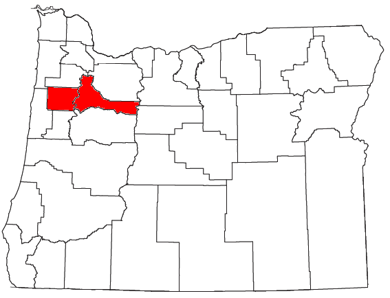
| Description | Locator map of the Salem Metropolitan Statistical Area in the northwestern part of the U.S. state of Oregon. | ||
| Date | 2008-07-26 | ||
| Source | Modified from this United States Census Bureau file, based on this Census definitions list. | ||
| Author | User:Nyttend | ||
| ⧼wm-license-information-permission⧽ (⧼wm-license-information-permission-reusing-text⧽) |
US Government work is public domain, and my work is |
تاريخ الملف
اضغط على زمن/تاريخ لرؤية الملف كما بدا في هذا الزمن.
| زمن/تاريخ | صورة مصغرة | الأبعاد | مستخدم | تعليق | |
|---|---|---|---|---|---|
| حالي | ★ مراجعة معتمدة 15:57، 13 أكتوبر 2023 | | 567 × 434 (25 كيلوبايت) | Pastakhov (نقاش | مساهمات) | Upload https://upload.wikimedia.org/wikipedia/commons/3/31/Salem_Metropolitan_Area.png |
لا يمكنك استبدال هذا الملف.
وصلات
لا يوجد صفحات تصل لهذه الصورة.