ملف:Round Hill - geograph.org.uk - 12959.jpg
لا توجد دقة أعلى متوفرة.
Round_Hill_-_geograph.org.uk_-_12959.jpg (640 × 420 بكسل حجم الملف: 43 كيلوبايت، نوع MIME: image/jpeg)
وصف قصير
| Description |
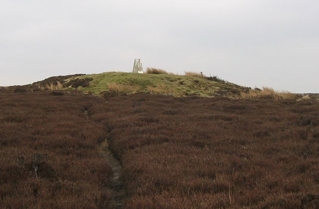
English: Round Hill. The highest point on Urra Moor and the North Yorkshire Moors is marked by this tumulus. The surrounding land is flat and heather covered. |
| Date | 2004-04-14 |
| Source | From geograph.org.uk |
| Author | Richard Webb |
| ⧼wm-license-cc-attribution⧽ (قالب:I18n/Credit line) |
Richard Webb / Round Hill / |
| Object location | | View all coordinates using: OpenStreetMap |
|---|
_&language=⧼lang⧽)
ترخيص
تاريخ الملف
اضغط على زمن/تاريخ لرؤية الملف كما بدا في هذا الزمن.
| زمن/تاريخ | صورة مصغرة | الأبعاد | مستخدم | تعليق | |
|---|---|---|---|---|---|
| حالي | ★ مراجعة معتمدة 10:14، 6 نوفمبر 2023 | | 640 × 420 (43 كيلوبايت) | Pastakhov (نقاش | مساهمات) | Upload https://upload.wikimedia.org/wikipedia/commons/2/21/Round_Hill_-_geograph.org.uk_-_12959.jpg |
لا يمكنك استبدال هذا الملف.
وصلات
لا يوجد صفحات تصل لهذه الصورة.