ملف:Plan des attaques de Maestricht, 1748, BNF.jpg
حجم هذه المعاينة: 800 × 495 بكسل. البعد الآخر: 1٬535 × 949 بكسل.

الملف الأصلي (1٬535 × 949 بكسل حجم الملف: 549 كيلوبايت، نوع MIME: image/jpeg)
وصف قصير
| Description |
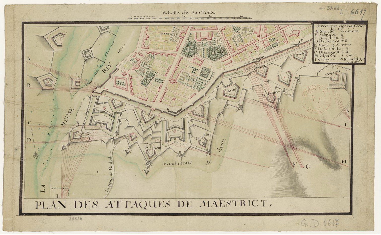
English: Old map of Maastricht, the Netherlands, showing the attaques of the army of Louis XV of France on the city in 1748 during the War of the Austrian Succession. Map in the collection of the Bibliothèque nationale de France in Paris.
(Dutch) |
| Date | 2014-06-16 08:55:50 |
| Source | http://gallica.bnf.fr (website Bibliothèque nationale de France) |
| Author | unknown cartographers, c.1750 |
ترخيص
تاريخ الملف
اضغط على زمن/تاريخ لرؤية الملف كما بدا في هذا الزمن.
| زمن/تاريخ | صورة مصغرة | الأبعاد | مستخدم | تعليق | |
|---|---|---|---|---|---|
| حالي | ★ مراجعة معتمدة 18:16، 3 ديسمبر 2023 | | 1٬535 × 949 (549 كيلوبايت) | Pastakhov (نقاش | مساهمات) | Upload https://upload.wikimedia.org/wikipedia/commons/d/d9/Plan_des_attaques_de_Maestricht%2C_1748%2C_BNF.jpg |
لا يمكنك استبدال هذا الملف.
وصلات
لا يوجد صفحات تصل لهذه الصورة.
