ملف:Pintupi country.png
حجم هذه المعاينة: 800 × 522 بكسل. البعد الآخر: 1٬226 × 800 بكسل.
الملف الأصلي (1٬226 × 800 بكسل حجم الملف: 247 كيلوبايت، نوع MIME: image/png)
وصف قصير
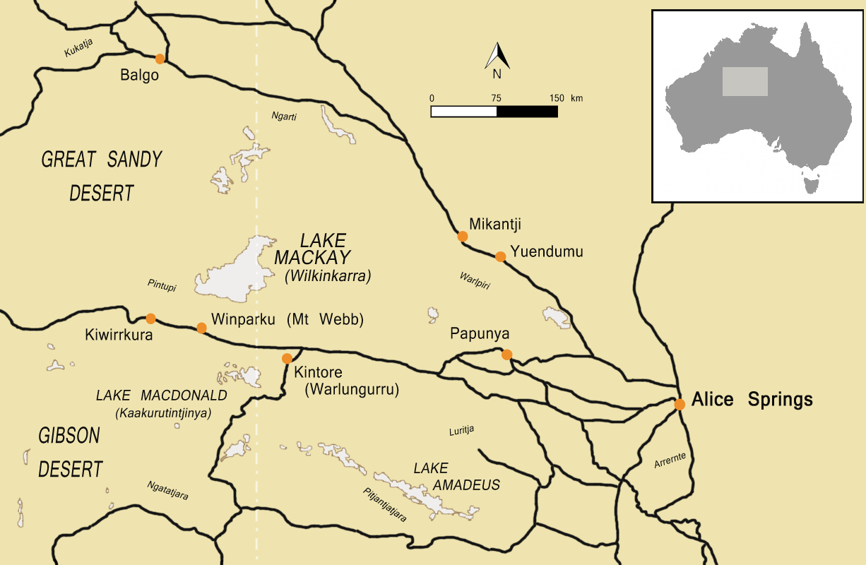
| Description |
English: A map of the area west of Alice Springs as it was in the mid-1980s. Depicts the traditional area of the Pintupi people. |
| Date | 2012-07-12 |
| Source | Own work |
| Author | Osiris |
ترخيص
|
تاريخ الملف
اضغط على زمن/تاريخ لرؤية الملف كما بدا في هذا الزمن.
| زمن/تاريخ | صورة مصغرة | الأبعاد | مستخدم | تعليق | |
|---|---|---|---|---|---|
| حالي | ★ مراجعة معتمدة 16:06، 23 يناير 2024 | | 1٬226 × 800 (247 كيلوبايت) | Pastakhov (نقاش | مساهمات) | Upload https://upload.wikimedia.org/wikipedia/commons/b/bc/Pintupi_country.png |
لا يمكنك استبدال هذا الملف.
وصلات
لا يوجد صفحات تصل لهذه الصورة.