ملف:Palestine location map Topographic.png
حجم هذه المعاينة: 521 × 600 بكسل. البعد الآخر: 1٬393 × 1٬604 بكسل.
الملف الأصلي (1٬393 × 1٬604 بكسل حجم الملف: 2٫97 ميجابايت، نوع MIME: image/png)
وصف قصير
| Description |
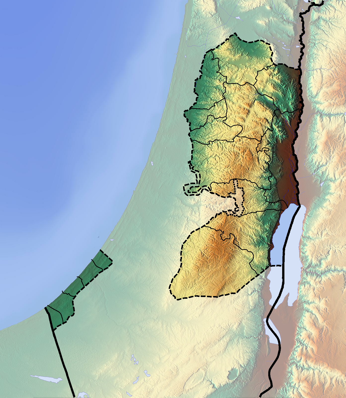
Deutsch: Positionskarte der Palästinensischen Autonomiegebiete bzw. von Westjordanland und Gazastreifen
Quadratische Plattkarte, N-S-Streckung 115 %. Geographische Begrenzung der Karte:
English: Location map of the Palestinian territories (West Bank and Gaza Strip)
Equirectangular projection, N/S stretching 115 %. Geographic limits of the map:
|
| Date | 2012-06-16 |
| Source | Own work (backgroung : http://www.maps-for-free.com) |
| Author | Dr Brains |
ترخيص
تاريخ الملف
اضغط على زمن/تاريخ لرؤية الملف كما بدا في هذا الزمن.
| زمن/تاريخ | صورة مصغرة | الأبعاد | مستخدم | تعليق | |
|---|---|---|---|---|---|
| حالي | ★ مراجعة معتمدة 07:06، 11 أبريل 2025 | | 1٬393 × 1٬604 (2٫97 ميجابايت) | Pastakhov (نقاش | مساهمات) | Upload https://upload.wikimedia.org/wikipedia/commons/a/a6/Palestine_location_map_Topographic.png |
لا يمكنك استبدال هذا الملف.
وصلات
لا يوجد صفحات تصل لهذه الصورة.