ملف:P River.JPG
حجم هذه المعاينة: 800 × 600 بكسل. البعد الآخر: 2٬560 × 1٬920 بكسل.
الملف الأصلي (2٬560 × 1٬920 بكسل حجم الملف: 1٫48 ميجابايت، نوع MIME: image/jpeg)
| Description |
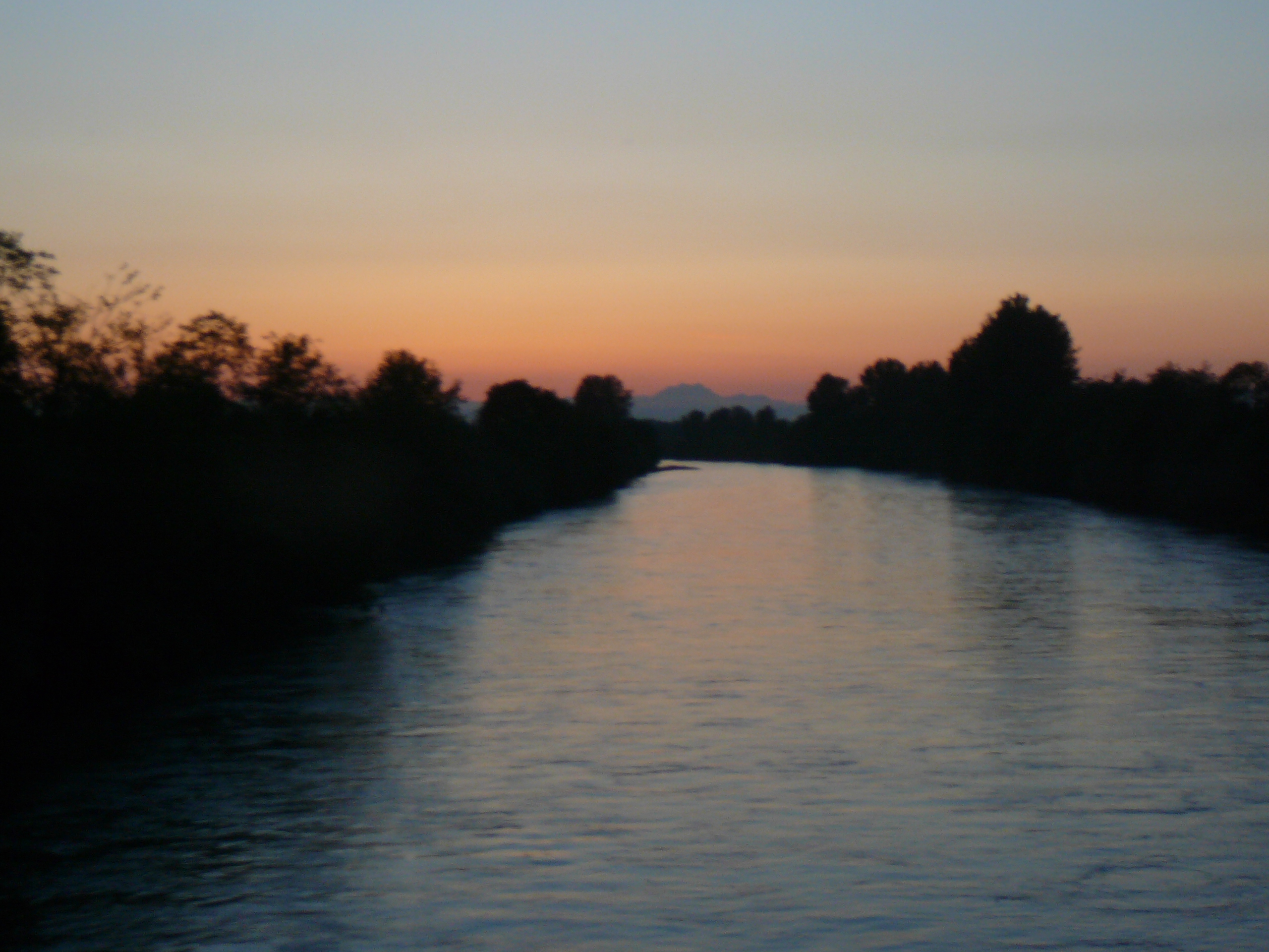
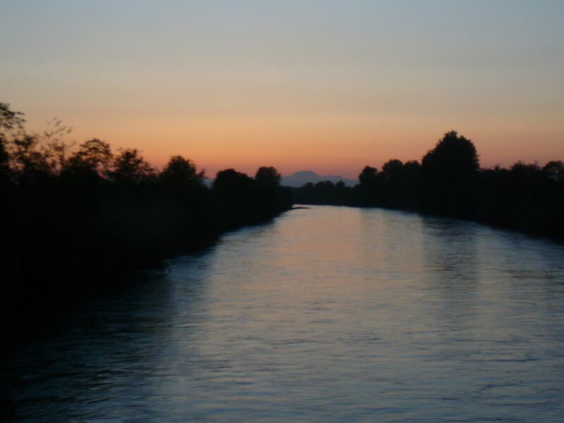
English: Puyallup River, looking northwest from the George Milroy Bridge at 66th Avenue East <-- location verified with Google Maps street view, guided by The Brothers peak aligned with the river; there is nowhere else this could have been taken, and the tree silhouettes still match in 2017 --> |
| Date | قالب:Original upload date |
| Source | I created this image entirely by myself. |
| Author | Reubentg (talk) |
47°12′50″N 122°20′28″W / 47.214°N 122.341°W
ترخيص
قالب:Original upload log
قالب:Transferred from قالب:Original description page
- 2008-06-02 15:43 Reubentg 2560×1920 (1549702 bytes) {{Information |Description= |Source=I created this image entirely by myself. |Date= |Author=~~~ |other_versions= }}
تاريخ الملف
اضغط على زمن/تاريخ لرؤية الملف كما بدا في هذا الزمن.
| زمن/تاريخ | صورة مصغرة | الأبعاد | مستخدم | تعليق | |
|---|---|---|---|---|---|
| حالي | ★ مراجعة معتمدة 03:45، 18 نوفمبر 2023 | | 2٬560 × 1٬920 (1٫48 ميجابايت) | Pastakhov (نقاش | مساهمات) | Upload https://upload.wikimedia.org/wikipedia/commons/8/87/P_River.JPG |
لا يمكنك استبدال هذا الملف.
وصلات
لا يوجد صفحات تصل لهذه الصورة.