ملف:Ouseburn above the Barrage - geograph.org.uk - 1777616.jpg
حجم هذه المعاينة: 800 × 600 بكسل. البعد الآخر: 1٬024 × 768 بكسل.
الملف الأصلي (1٬024 × 768 بكسل حجم الملف: 225 كيلوبايت، نوع MIME: image/jpeg)
وصف قصير
| Description |
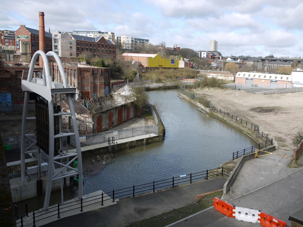
English: Ouseburn above the Barrage. Taken from the Glasshouse Bridge towards the former Maynard's Toffee Factory with its landmark chimney. Compare the pre-barrage photo from the same location taken in 2006 197609 |
| Date | 2010-03-28 |
| Source | From geograph.org.uk |
| Author | Andrew Curtis |
| ⧼wm-license-cc-attribution⧽ (قالب:I18n/Credit line) |
Andrew Curtis / Ouseburn above the Barrage / |
54°58′18″N 1°35′17″W / 54.97176°N 1.5881°W
_heading:315)
| Object location | ملف:Compass-icon bb NW.svg | View all coordinates using: OpenStreetMap |
|---|
_heading:315.00&language=⧼lang⧽)
ترخيص
تاريخ الملف
اضغط على زمن/تاريخ لرؤية الملف كما بدا في هذا الزمن.
| زمن/تاريخ | صورة مصغرة | الأبعاد | مستخدم | تعليق | |
|---|---|---|---|---|---|
| حالي | ★ مراجعة معتمدة 03:11، 13 نوفمبر 2023 | | 1٬024 × 768 (225 كيلوبايت) | Pastakhov (نقاش | مساهمات) | Upload https://upload.wikimedia.org/wikipedia/commons/9/9b/Ouseburn_above_the_Barrage_-_geograph.org.uk_-_1777616.jpg |
لا يمكنك استبدال هذا الملف.
وصلات
لا يوجد صفحات تصل لهذه الصورة.