ملف:Old Victoria Infirmary - geograph.org.uk - 1098285.jpg
لا توجد دقة أعلى متوفرة.
Old_Victoria_Infirmary_-_geograph.org.uk_-_1098285.jpg (640 × 480 بكسل حجم الملف: 75 كيلوبايت، نوع MIME: image/jpeg)
وصف قصير
| Description |
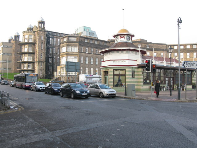
English: Old Victoria Infirmary The Victoria Infirmary is the elegant building towards the back of the picture at the corner of Battlefield Road and Grange Road.
The smaller building in the foreground is the Battlefield Rest Restaurant which is situated on a triangular traffic island. |
| Date | 2008-12-30 |
| Source | From geograph.org.uk |
| Author | G Laird |
| ⧼wm-license-cc-attribution⧽ (قالب:I18n/Credit line) |
G Laird / Old Victoria Infirmary / |
55°49′38″N 4°15′57″W / 55.82714°N 4.2658°W
_heading:315)
| Object location | ملف:Compass-icon bb NW.svg | View all coordinates using: OpenStreetMap |
|---|
_heading:315.00&language=⧼lang⧽)
ترخيص
تاريخ الملف
اضغط على زمن/تاريخ لرؤية الملف كما بدا في هذا الزمن.
| زمن/تاريخ | صورة مصغرة | الأبعاد | مستخدم | تعليق | |
|---|---|---|---|---|---|
| حالي | ★ مراجعة معتمدة 16:27، 8 نوفمبر 2023 | | 640 × 480 (75 كيلوبايت) | Pastakhov (نقاش | مساهمات) | Upload https://upload.wikimedia.org/wikipedia/commons/5/5d/Old_Victoria_Infirmary_-_geograph.org.uk_-_1098285.jpg |
لا يمكنك استبدال هذا الملف.
وصلات
لا يوجد صفحات تصل لهذه الصورة.