ملف:Magnificent Mile map with borders.gif
لا توجد دقة أعلى متوفرة.
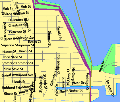
Magnificent_Mile_map_with_borders.gif (422 × 359 بكسل حجم الملف: 19 كيلوبايت، نوع MIME: image/gif)
وصف قصير
| Description |
English: Map of the location of w:Magnificent Mile |
| Date | 2008-07-06 |
| Source | USGS/USCB TIGER generated map - link |
| Author | Generated by User:TonyTheTiger (w:en:User:TonyTheTiger) using US Government provided TIGER tool, GIF saved, then traced in Paint |
| ⧼wm-license-information-permission⧽ (⧼wm-license-information-permission-reusing-text⧽) |
Original map data: PD US Government - TIGER is a service of the United States Census Bureau, and therefore the source image, like all TIGER images, is in the public domain. Traced street GIF is dual (GFDL and CC-BY-SA (choose any 1-3 version you like) ) |
ترخيص
تاريخ الملف
اضغط على زمن/تاريخ لرؤية الملف كما بدا في هذا الزمن.
| زمن/تاريخ | صورة مصغرة | الأبعاد | مستخدم | تعليق | |
|---|---|---|---|---|---|
| حالي | ★ مراجعة معتمدة 00:43، 28 أكتوبر 2023 | | 422 × 359 (19 كيلوبايت) | Pastakhov (نقاش | مساهمات) | Upload https://upload.wikimedia.org/wikipedia/commons/c/c7/Magnificent_Mile_map_with_borders.gif |
لا يمكنك استبدال هذا الملف.
وصلات
لا يوجد صفحات تصل لهذه الصورة.