ملف:Locmap-hoodcanal-ss.png
حجم هذه المعاينة: 461 × 600 بكسل. البعد الآخر: 802 × 1٬043 بكسل.
الملف الأصلي (802 × 1٬043 بكسل حجم الملف: 103 كيلوبايت، نوع MIME: image/png)

|
[All images in this gallery should be recreated using vector graphics as an SVG file. This has several advantages; see Commons:Media for cleanup for more information. If an SVG form of this image is already available, please upload it. After uploading an SVG, replace this template with {{vector version available|new image name.svg}}.] Error: {{Lang}}: text has italic markup (help) |
|
العربية | български | català | čeština | dansk | Deutsch | English | Esperanto | español | français | galego | 한국어 | italiano | magyar | lietuvių | 日本語 | Plattdüütsch | Nederlands | norsk | polski | português | română | русский | suomi | svenska | Türkçe | українська | 中文(繁體) | 中文(简体) | +/− | |
وصف قصير
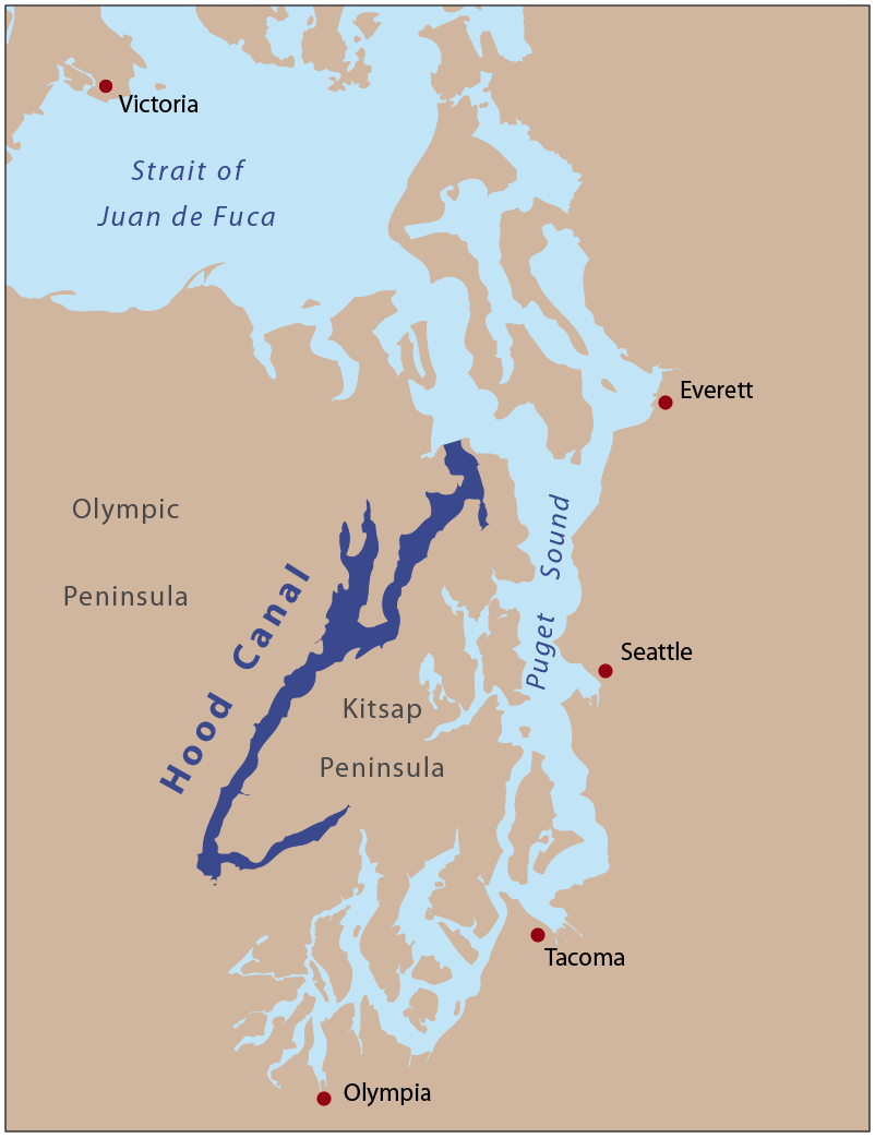
| Description | This is a locator map of Hood Canal. I, Pfly, made it with ArcGIS, Adobe Illustrator, and Adobe Photoshop. Used screenshot method to see how colors differ from direct save from Illustrator. |
| Date | 2008-04-20 |
| Source | Own work |
| Author | Pfly |
ترخيص
|

تاريخ الملف
اضغط على زمن/تاريخ لرؤية الملف كما بدا في هذا الزمن.
| زمن/تاريخ | صورة مصغرة | الأبعاد | مستخدم | تعليق | |
|---|---|---|---|---|---|
| حالي | ★ مراجعة معتمدة 13:20، 17 نوفمبر 2023 | | 802 × 1٬043 (103 كيلوبايت) | Pastakhov (نقاش | مساهمات) | Upload https://upload.wikimedia.org/wikipedia/commons/7/72/Locmap-hoodcanal-ss.png |
لا يمكنك استبدال هذا الملف.
وصلات
لا يوجد صفحات تصل لهذه الصورة.