ملف:Little Missenden from the path up Toby’s Lane-geograph-4267230-by-Peter-.jpg
حجم هذه المعاينة: 800 × 600 بكسل. البعدان الآخران: 2٬560 × 1٬920 بكسل | 4٬608 × 3٬456 بكسل.
الملف الأصلي (4٬608 × 3٬456 بكسل حجم الملف: 4٫13 ميجابايت، نوع MIME: image/jpeg)
وصف قصير
| Description |
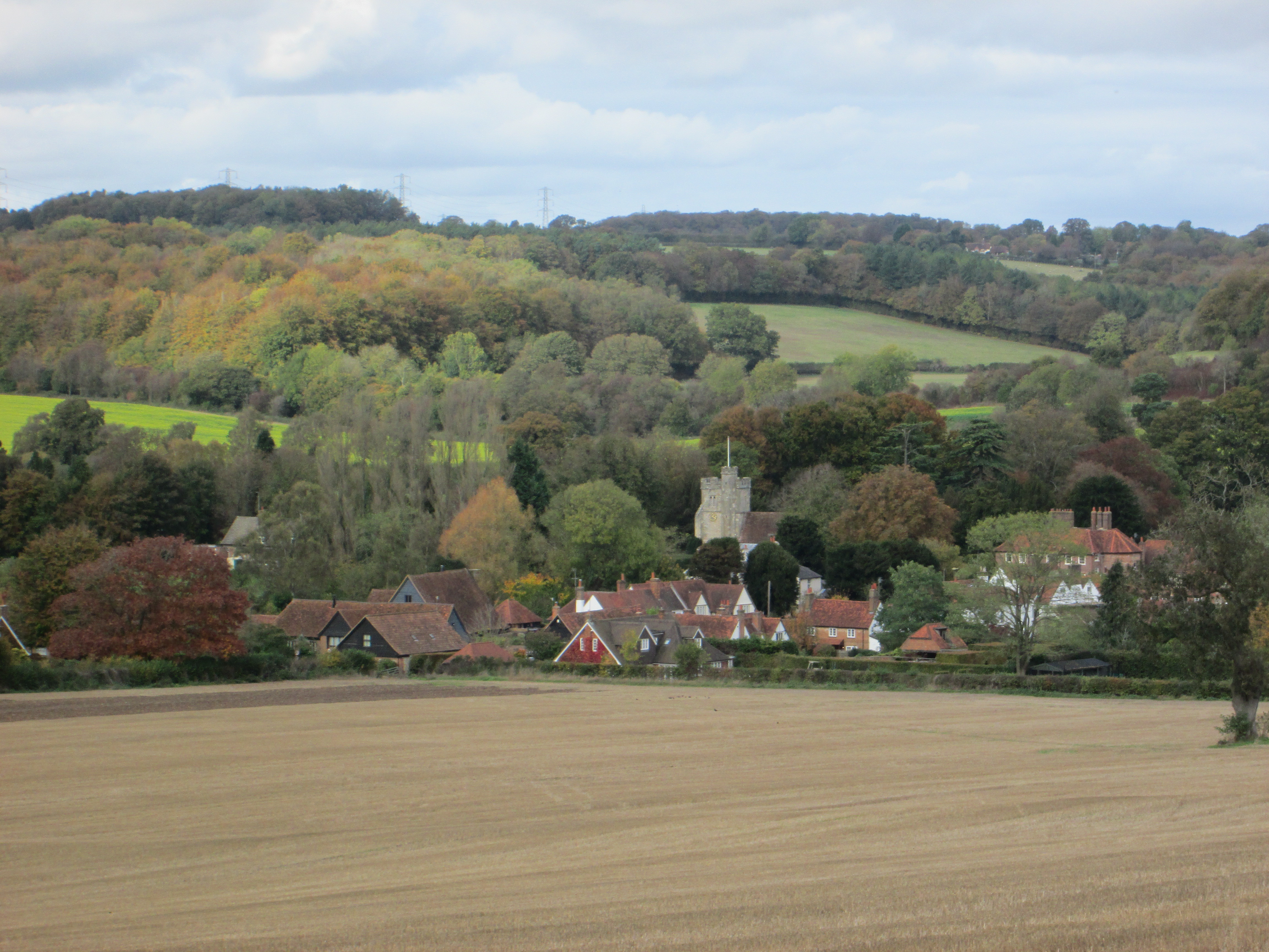
English: Little Missenden from the path up Toby’s Lane. In the center is the tower of St John the Baptist Church and to the right the Manor House can be seen. |
| Date | 2014-10-25 |
| Source | https://www.geograph.org.uk/photo/4267230 |
| Author | Peter |
51°40′41″N 0°39′52″W / 51.67816°N 0.6644°W
_heading:315)
| Object location | ملف:Compass-icon bb NW.svg | View all coordinates using: OpenStreetMap |
|---|
_heading:315.00&language=⧼lang⧽)
ترخيص
تاريخ الملف
اضغط على زمن/تاريخ لرؤية الملف كما بدا في هذا الزمن.
| زمن/تاريخ | صورة مصغرة | الأبعاد | مستخدم | تعليق | |
|---|---|---|---|---|---|
| حالي | ★ مراجعة معتمدة 06:36، 25 ديسمبر 2023 | | 4٬608 × 3٬456 (4٫13 ميجابايت) | Pastakhov (نقاش | مساهمات) | Upload https://upload.wikimedia.org/wikipedia/commons/6/6c/Little_Missenden_from_the_path_up_Toby%E2%80%99s_Lane-geograph-4267230-by-Peter-.jpg |
لا يمكنك استبدال هذا الملف.
وصلات
لا يوجد صفحات تصل لهذه الصورة.