ملف:Lake Oahe, SD, winter.jpg
حجم هذه المعاينة: 800 × 600 بكسل. البعدان الآخران: 2٬560 × 1٬920 بكسل | 3٬264 × 2٬448 بكسل.
الملف الأصلي (3٬264 × 2٬448 بكسل حجم الملف: 8٫68 ميجابايت، نوع MIME: image/jpeg)
وصف قصير
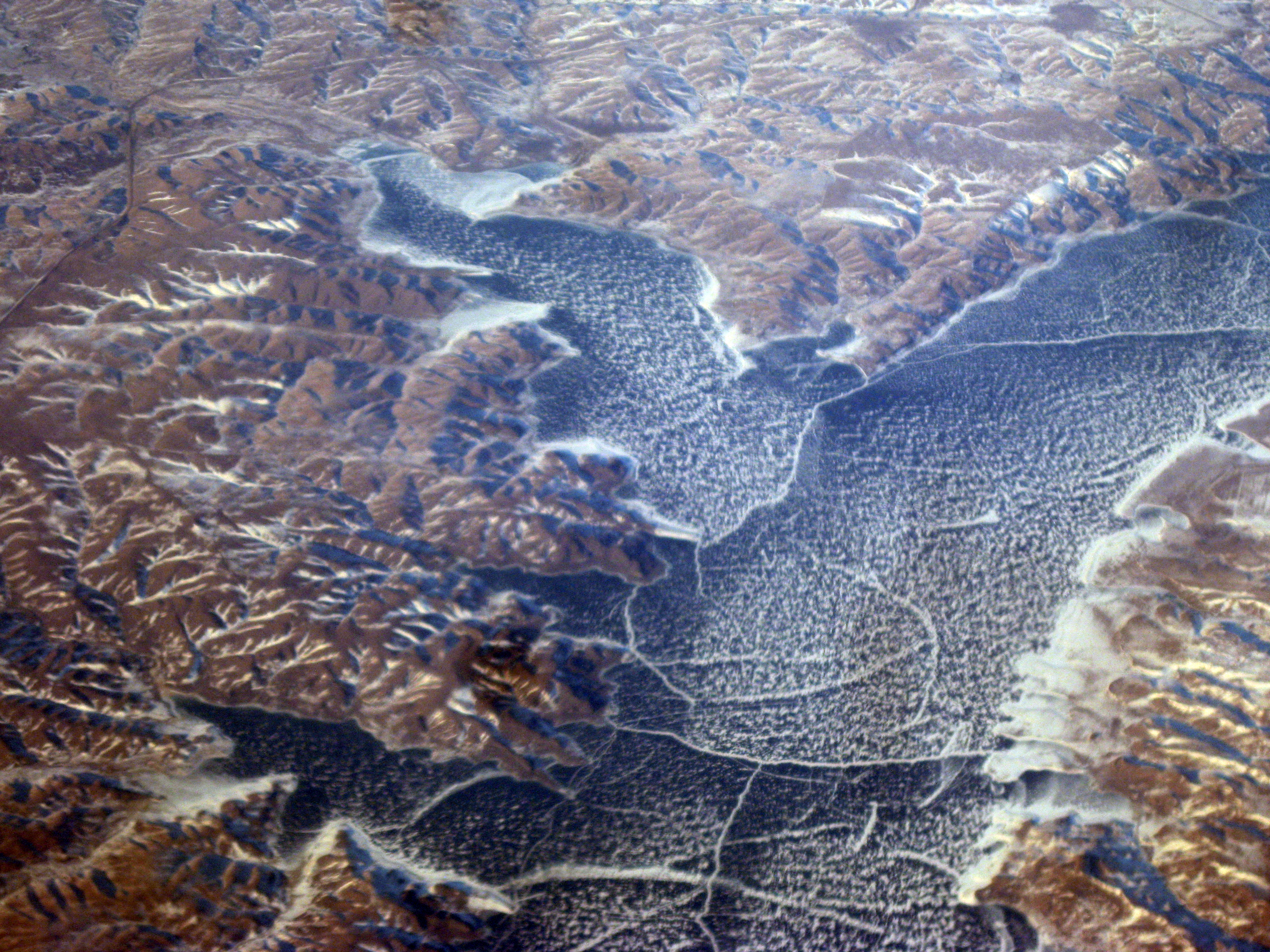
| Description | Lake Oahe, in the dammed Missouri River, in the heart of South Dakota. Dolphee's Island is here, under water. It is mentioned in Lewis & Clark's journal. They passed through here in their explorations. Stove Creek Bay is on the upper left |
| Date | 2009-01-27 17:18 |
| Source |
|
| Author | Doc Searls from Santa Barbara, USA |
| Object location | | View all coordinates using: OpenStreetMap |
|---|
ترخيص
تاريخ الملف
اضغط على زمن/تاريخ لرؤية الملف كما بدا في هذا الزمن.
| زمن/تاريخ | صورة مصغرة | الأبعاد | مستخدم | تعليق | |
|---|---|---|---|---|---|
| حالي | ★ مراجعة معتمدة 23:55، 19 أكتوبر 2023 | | 3٬264 × 2٬448 (8٫68 ميجابايت) | Pastakhov (نقاش | مساهمات) | Upload https://upload.wikimedia.org/wikipedia/commons/b/ba/Lake_Oahe%2C_SD%2C_winter.jpg |
لا يمكنك استبدال هذا الملف.
وصلات
لا يوجد صفحات تصل لهذه الصورة.