ملف:Kouilou districts.png
حجم هذه المعاينة: 776 × 600 بكسل. البعد الآخر: 1٬056 × 816 بكسل.
الملف الأصلي (1٬056 × 816 بكسل حجم الملف: 27 كيلوبايت، نوع MIME: image/png)
| Description |
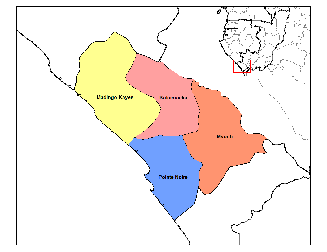
English: Map of the districts of Kouilou region in the Republic of the Congo. Created by Rarelibra 13:55, 12 September 2006 (UTC) for public domain use, using MapInfo Professional v8.5 and various mapping resources. |
| Date | قالب:Original upload date |
| Source | قالب:Transferred from |
| Author | قالب:Original uploader |
| ⧼wm-license-information-permission⧽ (⧼wm-license-information-permission-reusing-text⧽) |
قالب:PD-user-en |
قالب:Original upload log
قالب:Original description page
- 2006-09-12 13:55 Rarelibra 1056×816×8 (27558 bytes) Map of the districts of Kouilou region in the Republic of the Congo. Created by ~~~~ for public domain use, using MapInfo Professional v8.5 and various mapping resources.
تاريخ الملف
اضغط على زمن/تاريخ لرؤية الملف كما بدا في هذا الزمن.
| زمن/تاريخ | صورة مصغرة | الأبعاد | مستخدم | تعليق | |
|---|---|---|---|---|---|
| حالي | ★ مراجعة معتمدة 07:03، 5 أكتوبر 2023 | | 1٬056 × 816 (27 كيلوبايت) | Pastakhov (نقاش | مساهمات) | Upload https://upload.wikimedia.org/wikipedia/commons/0/00/Kouilou_districts.png |
لا يمكنك استبدال هذا الملف.
وصلات
لا يوجد صفحات تصل لهذه الصورة.