ملف:Intersection at Combe - geograph.org.uk - 62327.jpg
لا توجد دقة أعلى متوفرة.
Intersection_at_Combe_-_geograph.org.uk_-_62327.jpg (640 × 480 بكسل حجم الملف: 221 كيلوبايت، نوع MIME: image/jpeg)
وصف قصير
| Description |
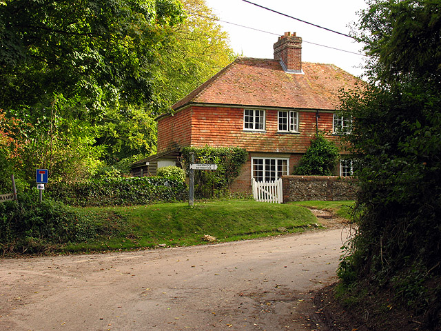
English: Intersection at Combe. This square contains the very small village of Combe and is mostly farmland. The road to the left goes to Lower farm and the right to manor farm and St Swithuns. (Not the best composition) |
| Date | 2005-10-02 |
| Source | From geograph.org.uk |
| Author | Pam Brophy |
| ⧼wm-license-cc-attribution⧽ (قالب:I18n/Credit line) |
Pam Brophy / Intersection at Combe / |
51°20′48″N 1°28′03″W / 51.346570°N 1.46759°W
)
| Object location | | View all coordinates using: OpenStreetMap |
|---|
_&language=⧼lang⧽)
ترخيص
تاريخ الملف
اضغط على زمن/تاريخ لرؤية الملف كما بدا في هذا الزمن.
| زمن/تاريخ | صورة مصغرة | الأبعاد | مستخدم | تعليق | |
|---|---|---|---|---|---|
| حالي | ★ مراجعة معتمدة 09:10، 7 ديسمبر 2023 | | 640 × 480 (221 كيلوبايت) | Pastakhov (نقاش | مساهمات) | Upload https://upload.wikimedia.org/wikipedia/commons/4/40/Intersection_at_Combe_-_geograph.org.uk_-_62327.jpg |
لا يمكنك استبدال هذا الملف.
وصلات
لا يوجد صفحات تصل لهذه الصورة.