ملف:Iceland Mexico Locator.png
حجم هذه المعاينة: 800 × 455 بكسل. البعد الآخر: 1٬260 × 716 بكسل.
الملف الأصلي (1٬260 × 716 بكسل حجم الملف: 65 كيلوبايت، نوع MIME: image/png)
وصف قصير
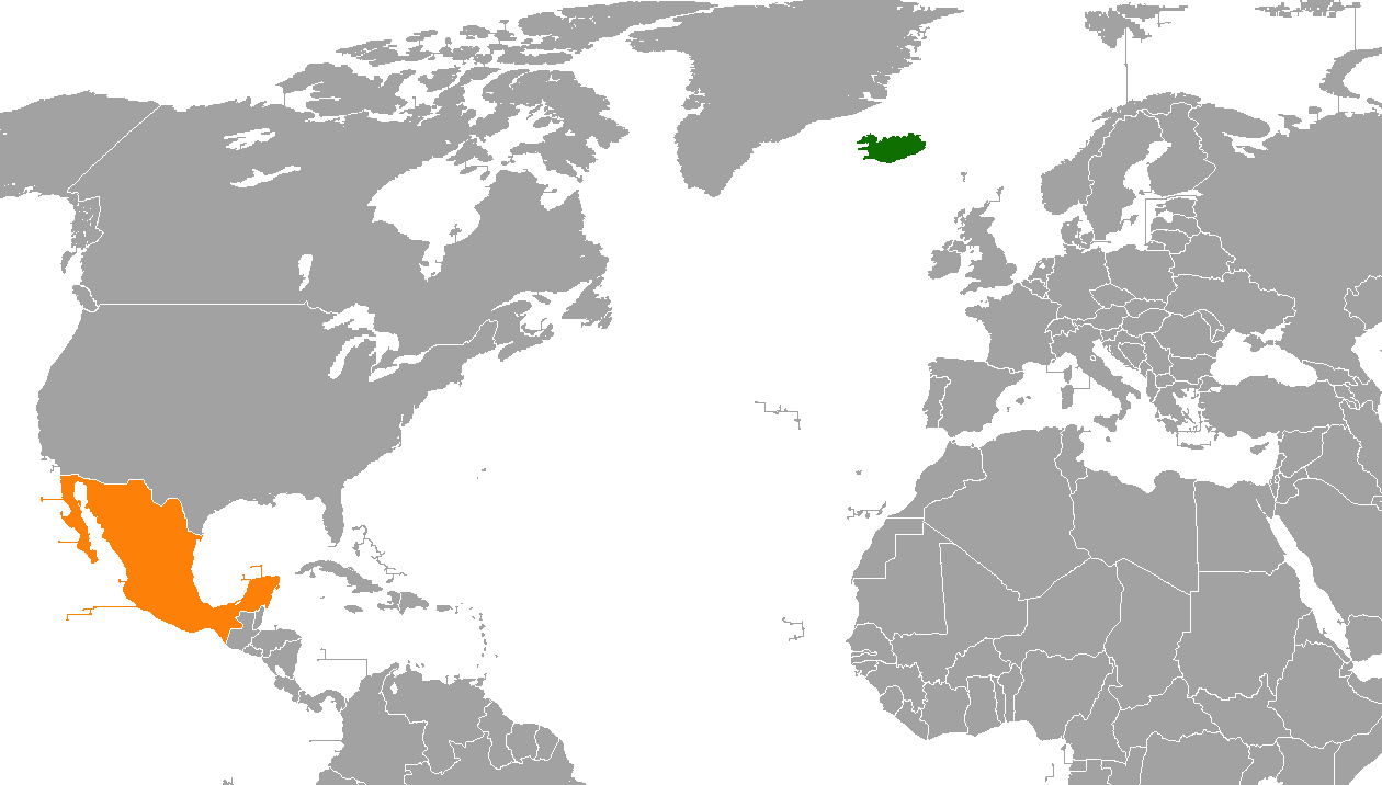
| Description |
English: A map showing the locations of Iceland and Mexico, created by me using MS paint and existing public domain map (Armenia USA Locator.png) as a template. |
| Date | 2010-05-14 |
| Source | Own work |
| Author | FeydHuxtable |
Useful for the bilateral relations article of the two countries
ترخيص
تاريخ الملف
اضغط على زمن/تاريخ لرؤية الملف كما بدا في هذا الزمن.
| زمن/تاريخ | صورة مصغرة | الأبعاد | مستخدم | تعليق | |
|---|---|---|---|---|---|
| حالي | ★ مراجعة معتمدة 14:52، 23 نوفمبر 2023 | | 1٬260 × 716 (65 كيلوبايت) | Pastakhov (نقاش | مساهمات) | Upload https://upload.wikimedia.org/wikipedia/commons/e/e5/Iceland_Mexico_Locator.png |
لا يمكنك استبدال هذا الملف.
وصلات
لا يوجد صفحات تصل لهذه الصورة.