ملف:Gilbert 14A.JPG

حجم هذه المعاينة: 800 × 533 بكسل. البعد الآخر: 1٬536 × 1٬024 بكسل.
الملف الأصلي (1٬536 × 1٬024 بكسل حجم الملف: 614 كيلوبايت، نوع MIME: image/jpeg)
وصف قصير
| Description |
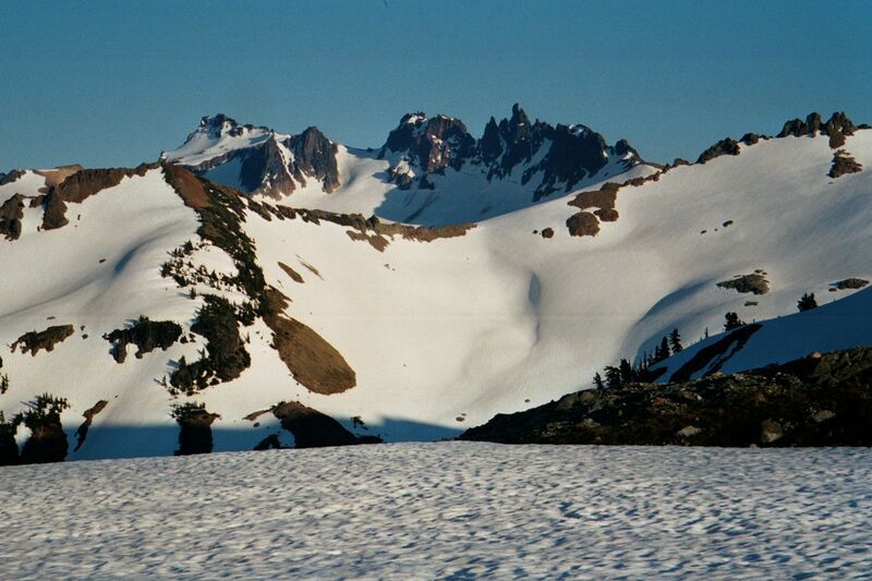
Gilbert Peak
|
| Date | قالب:Original upload date |
| Source | No machine-readable source provided. Own work assumed (based on copyright claims). |
| Author | No machine-readable author provided. Wsiegmund assumed (based on copyright claims). |
ترخيص
قالب:Cc-by-sa-3.0-migrated |

تاريخ الملف
اضغط على زمن/تاريخ لرؤية الملف كما بدا في هذا الزمن.
| زمن/تاريخ | صورة مصغرة | الأبعاد | مستخدم | تعليق | |
|---|---|---|---|---|---|
| حالي | ★ مراجعة معتمدة 08:14، 18 ديسمبر 2023 | | 1٬536 × 1٬024 (614 كيلوبايت) | Pastakhov (نقاش | مساهمات) | Upload https://upload.wikimedia.org/wikipedia/commons/5/5a/Gilbert_14A.JPG |
لا يمكنك استبدال هذا الملف.
وصلات
لا يوجد صفحات تصل لهذه الصورة.