ملف:Friedenheim Urpositionsblätter 1856.PNG
حجم هذه المعاينة: 800 × 458 بكسل. البعد الآخر: 1٬473 × 844 بكسل.
الملف الأصلي (1٬473 × 844 بكسل حجم الملف: 2٫93 ميجابايت، نوع MIME: image/png)
وصف قصير
| Description |
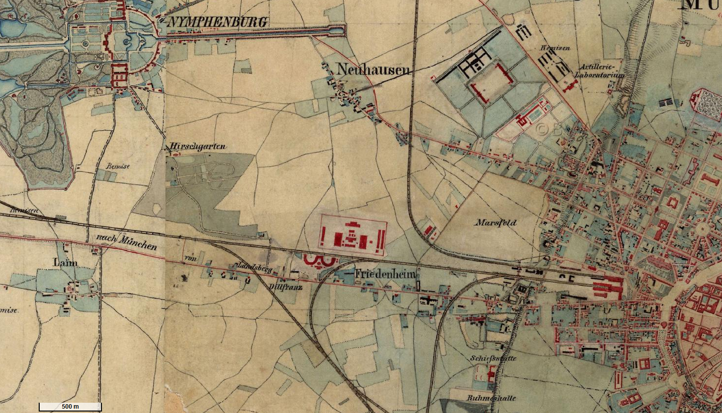
Deutsch: Ausschnitt der Urpositionsblätter 691 Pasing und 692 München von 1856, zeigt den früheren Münchener Ortsteil Friedenheim südlich von Neuhausen und östlich von Laim und westlich des Münchener Hauptbahnhofs |
| Date | 1856 |
| Source | http://geoportal.bayern.de/bayernatlas/default?lon=4464638.5&lat=5334373.5&zoom=10&base=952 |
| Author | Topographisches Bureau des K. B. Generalstabes |
ترخيص
|
|
This file is in the ملكية عامة because its copyright has expired in the United States and those countries with a copyright term of no more than the life of the author plus 100 years.
|
تاريخ الملف
اضغط على زمن/تاريخ لرؤية الملف كما بدا في هذا الزمن.
| زمن/تاريخ | صورة مصغرة | الأبعاد | مستخدم | تعليق | |
|---|---|---|---|---|---|
| حالي | ★ مراجعة معتمدة 01:27، 23 يناير 2024 | | 1٬473 × 844 (2٫93 ميجابايت) | Pastakhov (نقاش | مساهمات) | Upload https://upload.wikimedia.org/wikipedia/commons/a/a5/Friedenheim_Urpositionsbl%C3%A4tter_1856.PNG |
لا يمكنك استبدال هذا الملف.
وصلات
لا يوجد صفحات تصل لهذه الصورة.