ملف:F07 0051.Ma.JPG
حجم هذه المعاينة: 800 × 536 بكسل. البعدان الآخران: 2٬560 × 1٬714 بكسل | 3٬872 × 2٬592 بكسل.
الملف الأصلي (3٬872 × 2٬592 بكسل حجم الملف: 3٫39 ميجابايت، نوع MIME: image/jpeg)
وصف قصير
| Description |
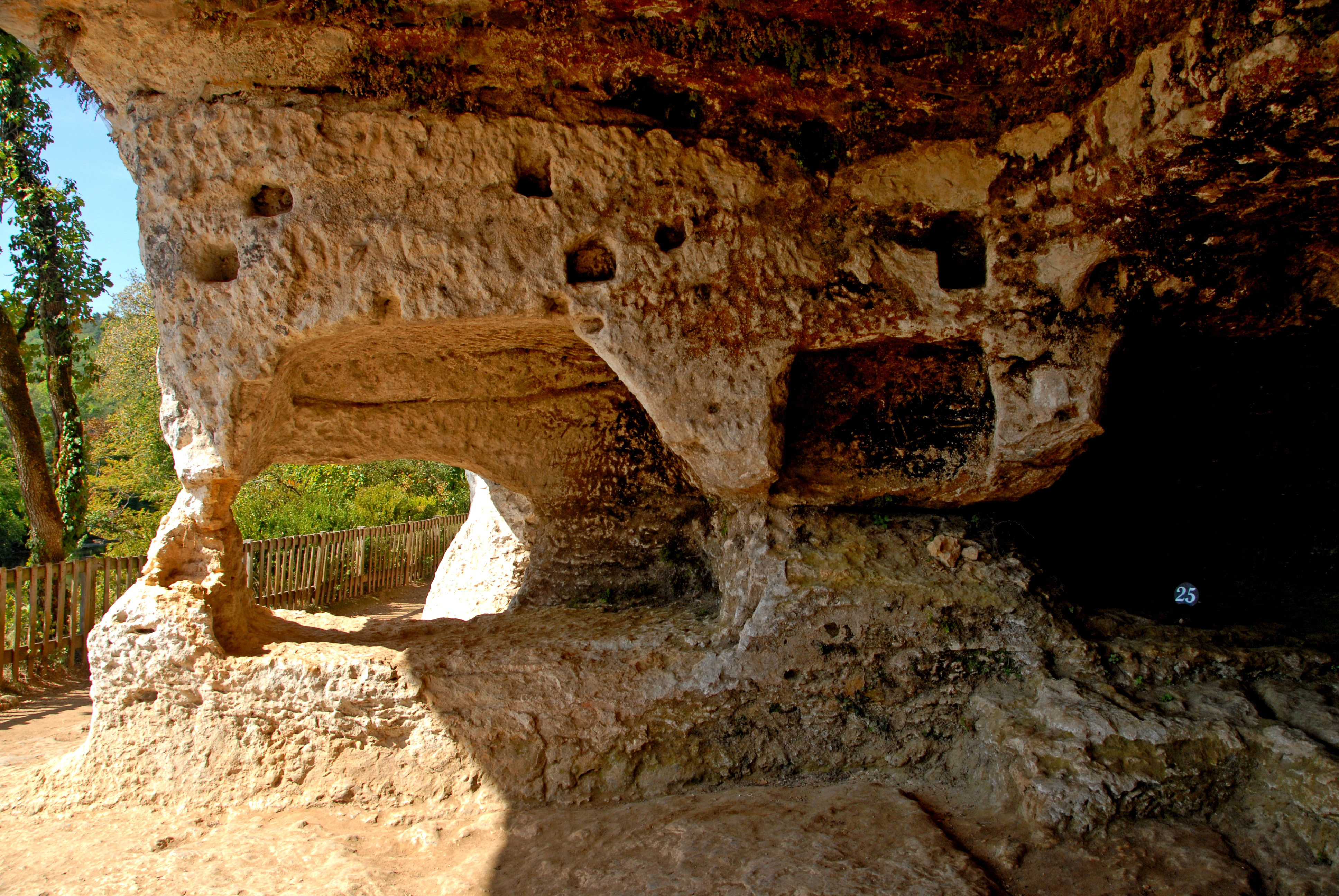
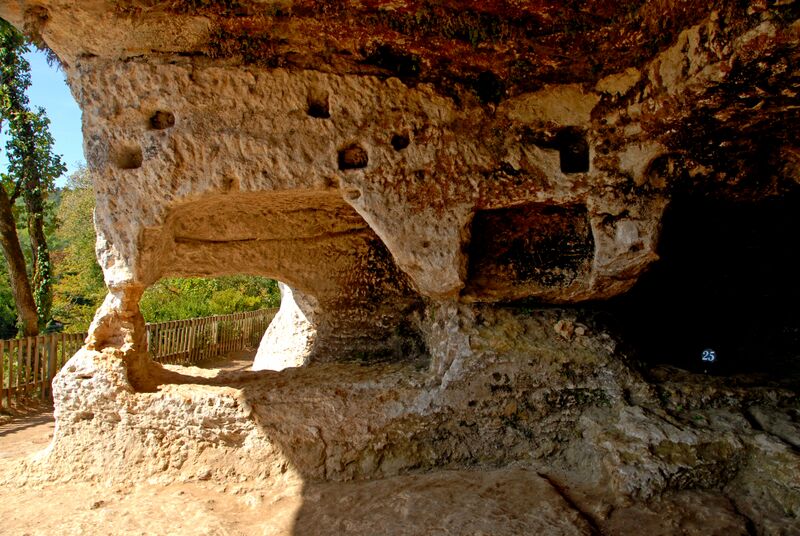
Deutsch: Archäologischer Fundplatz „La Madeleine“ in Frankreich: Versammlungsplatz und sporadischer Brunnen
|
||||
| Date | 2007-09-21 | ||||
| Source | selbst fotografiert von Jochen Jahnke | ||||
| Author | Jochen Jahnke | ||||
| ⧼wm-license-information-permission⧽ (⧼wm-license-information-permission-reusing-text⧽) |
Licensed under the GFDL by the author. | ||||
| ⧼wm-license-information-other-versions⧽ | Originally from de.wikipedia; description page is/was here: 2007-11-08 11:10 .. Jochen Jahnke .. 3872×2592×8 (3557136 bytes) |
ترخيص
تاريخ الملف
اضغط على زمن/تاريخ لرؤية الملف كما بدا في هذا الزمن.
| زمن/تاريخ | صورة مصغرة | الأبعاد | مستخدم | تعليق | |
|---|---|---|---|---|---|
| حالي | ★ مراجعة معتمدة 09:19، 18 أكتوبر 2023 | | 3٬872 × 2٬592 (3٫39 ميجابايت) | Pastakhov (نقاش | مساهمات) | Upload https://upload.wikimedia.org/wikipedia/commons/9/9f/F07_0051.Ma.JPG |
لا يمكنك استبدال هذا الملف.
وصلات
لا يوجد صفحات تصل لهذه الصورة.