ملف:East Fork Arkansas River.JPG
حجم هذه المعاينة: 800 × 533 بكسل. البعدان الآخران: 2٬560 × 1٬707 بكسل | 5٬184 × 3٬456 بكسل.
الملف الأصلي (5٬184 × 3٬456 بكسل حجم الملف: 11٫15 ميجابايت، نوع MIME: image/jpeg)
وصف قصير
| Description |
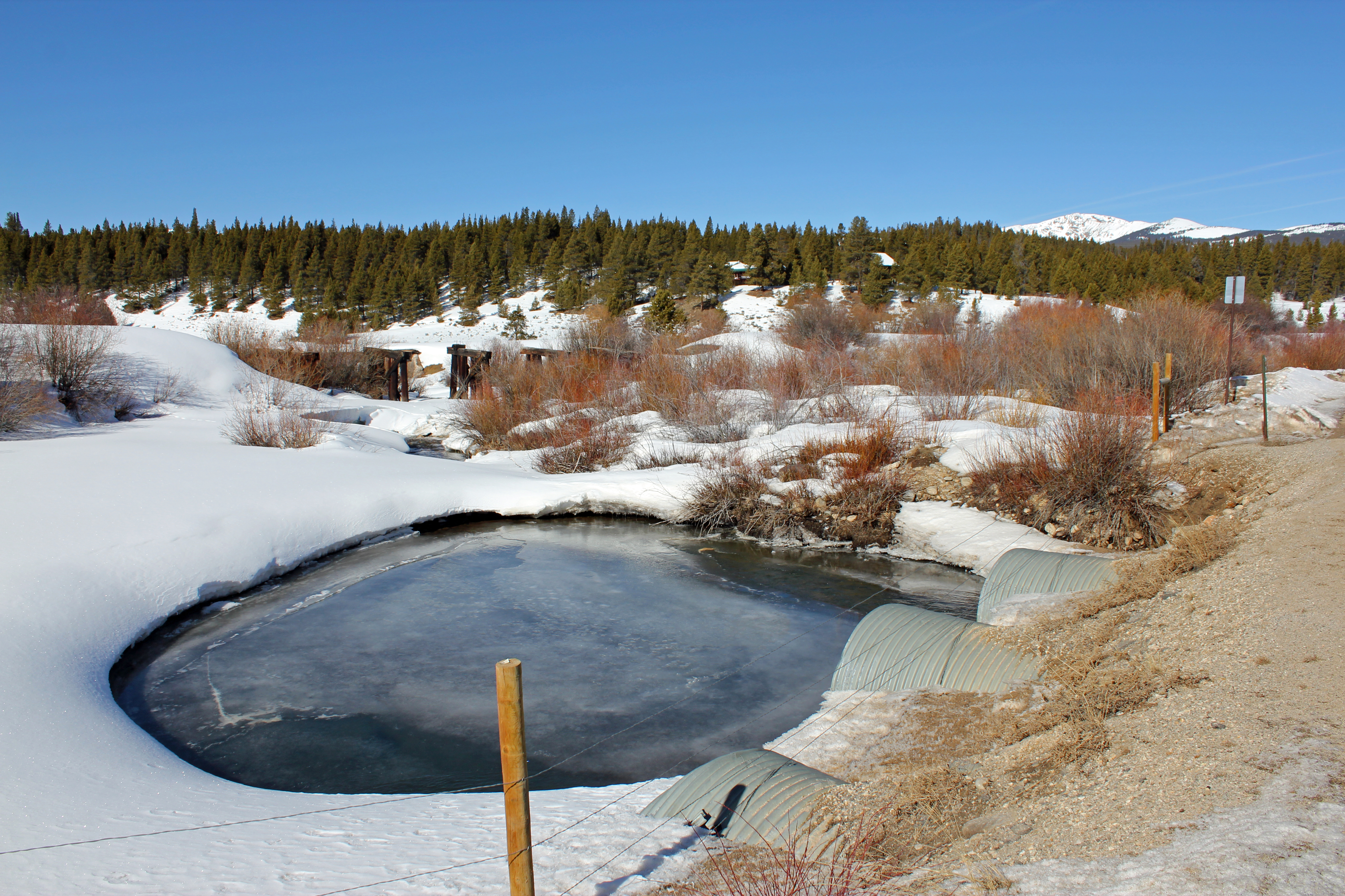
English: The East Fork Arkansas River, just after it flows under Lake County (Colorado) Road 9, northwest of Leadville, Colorado. The river flows under the road in a series of four culverts. Soon after passing under the road, the river merges with Tennessee Creek to form the Arkansas River. |
| Date | 2016-02-26 |
| Source | Own work |
| Author | Jeffrey Beall |
39°15′34″N 106°20′26″W / 39.259489°N 106.340577°W
ترخيص
تاريخ الملف
اضغط على زمن/تاريخ لرؤية الملف كما بدا في هذا الزمن.
| زمن/تاريخ | صورة مصغرة | الأبعاد | مستخدم | تعليق | |
|---|---|---|---|---|---|
| حالي | ★ مراجعة معتمدة 21:55، 14 نوفمبر 2023 | | 5٬184 × 3٬456 (11٫15 ميجابايت) | Pastakhov (نقاش | مساهمات) | Upload https://upload.wikimedia.org/wikipedia/commons/4/4e/East_Fork_Arkansas_River.JPG |
لا يمكنك استبدال هذا الملف.
وصلات
لا يوجد صفحات تصل لهذه الصورة.