ملف:Drumheller Channels National Natural Landmark.jpg
حجم هذه المعاينة: 800 × 461 بكسل. البعد الآخر: 3٬541 × 2٬041 بكسل.
الملف الأصلي (3٬541 × 2٬041 بكسل حجم الملف: 1٫09 ميجابايت، نوع MIME: image/jpeg)
وصف قصير
| Description |
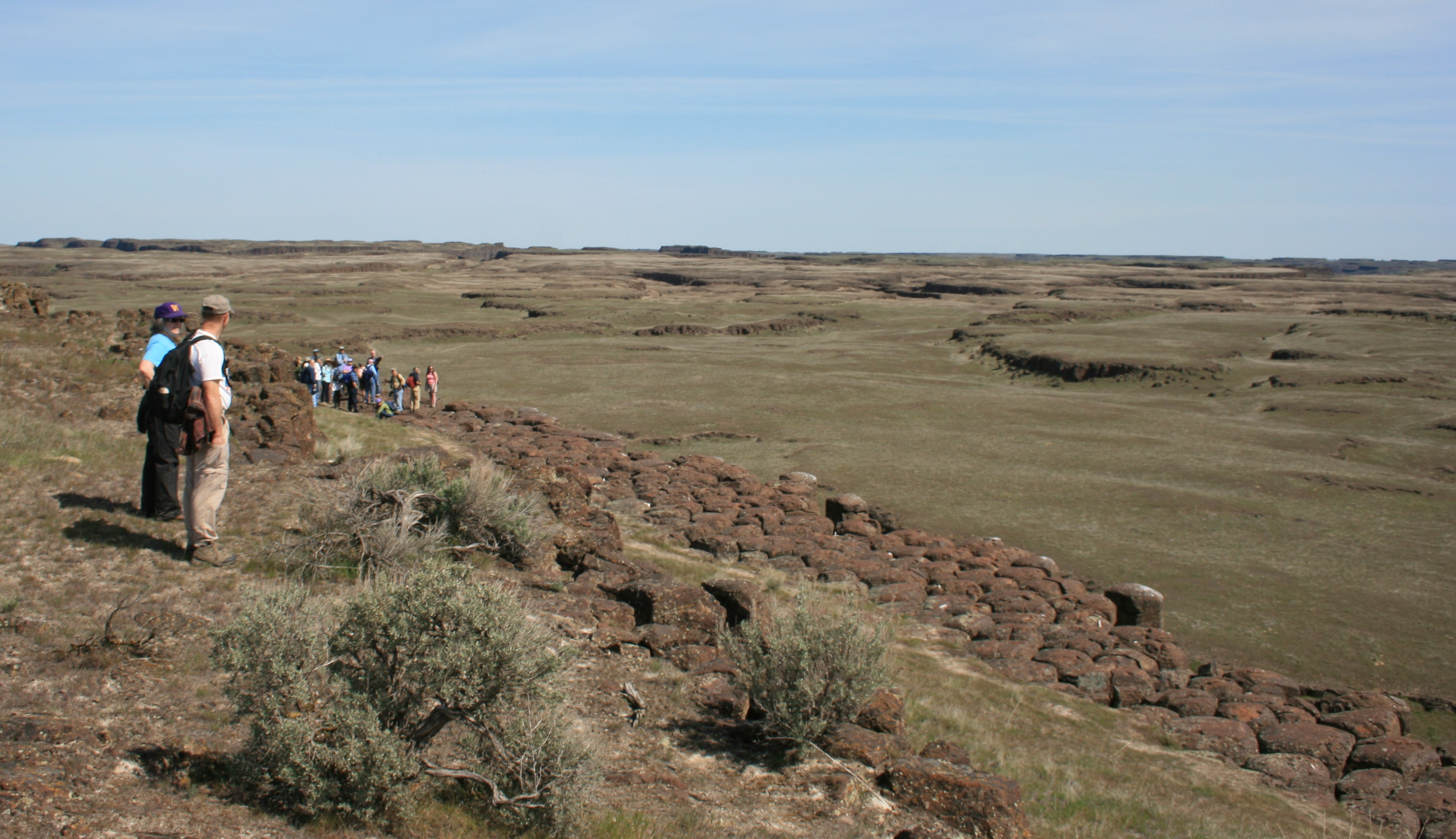
English: w:Drumheller Channels National Natural Landmark showcases the Drumheller Channels, which are the most significant example in the w:Columbia Plateau of basalt butte-and-basin w:channeled scablands. This w:National Natural Landmark is an extensively eroded landscape, located in south central w:Washington state characterized by hundreds of isolated, steep-sided hills (buttes) surrounded by a braided network of numerous channels, all but one of which are currently dry. It is a classic example of the tremendous erosive powers of extremely large floods such as those that reformed the Columbia Plateau volcanic terrain during the late w:Pleistocene glacial w:Missoula Floods. |
| Date | قالب:Taken on |
| Source | Own work |
| Author | خطأ: لا توجد وحدة بهذا الاسم "user". |
All rights released.
ترخيص
تاريخ الملف
اضغط على زمن/تاريخ لرؤية الملف كما بدا في هذا الزمن.
| زمن/تاريخ | صورة مصغرة | الأبعاد | مستخدم | تعليق | |
|---|---|---|---|---|---|
| حالي | ★ مراجعة معتمدة 02:04، 27 يناير 2024 | | 3٬541 × 2٬041 (1٫09 ميجابايت) | Pastakhov (نقاش | مساهمات) | Upload https://upload.wikimedia.org/wikipedia/commons/7/73/Drumheller_Channels_National_Natural_Landmark.jpg |
لا يمكنك استبدال هذا الملف.
وصلات
لا يوجد صفحات تصل لهذه الصورة.