ملف:Dairsie Brig - geograph.org.uk - 46316.jpg
لا توجد دقة أعلى متوفرة.
Dairsie_Brig_-_geograph.org.uk_-_46316.jpg (640 × 480 بكسل حجم الملف: 163 كيلوبايت، نوع MIME: image/jpeg)
وصف قصير
| Description |
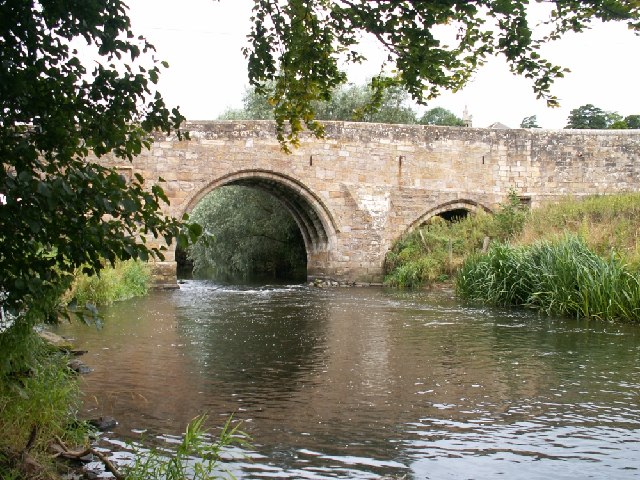
English: Dairsie Brig. This very old bridge stands on one of the old routes between St Andrews and the old county town of Cupar. |
| Date | 2005-08-30 |
| Source | From geograph.org.uk |
| Author | Jim Bain |
| ⧼wm-license-cc-attribution⧽ (قالب:I18n/Credit line) |
Jim Bain / Dairsie Brig / |
56°20′03″N 2°56′41″W / 56.33407°N 2.9448°W
_heading:270)
| Object location | ملف:Compass-icon bb W.svg | View all coordinates using: OpenStreetMap |
|---|
_heading:270.00&language=⧼lang⧽)
ترخيص
تاريخ الملف
اضغط على زمن/تاريخ لرؤية الملف كما بدا في هذا الزمن.
| زمن/تاريخ | صورة مصغرة | الأبعاد | مستخدم | تعليق | |
|---|---|---|---|---|---|
| حالي | ★ مراجعة معتمدة 16:26، 23 نوفمبر 2023 | | 640 × 480 (163 كيلوبايت) | Pastakhov (نقاش | مساهمات) | Upload https://upload.wikimedia.org/wikipedia/commons/3/3c/Dairsie_Brig_-_geograph.org.uk_-_46316.jpg |
لا يمكنك استبدال هذا الملف.
وصلات
لا يوجد صفحات تصل لهذه الصورة.