ملف:Crawford County limit, US80 EB.jpg
حجم هذه المعاينة: 800 × 533 بكسل. البعدان الآخران: 2٬560 × 1٬707 بكسل | 5٬184 × 3٬456 بكسل.
الملف الأصلي (5٬184 × 3٬456 بكسل حجم الملف: 5٫06 ميجابايت، نوع MIME: image/jpeg)
وصف قصير
| Description |
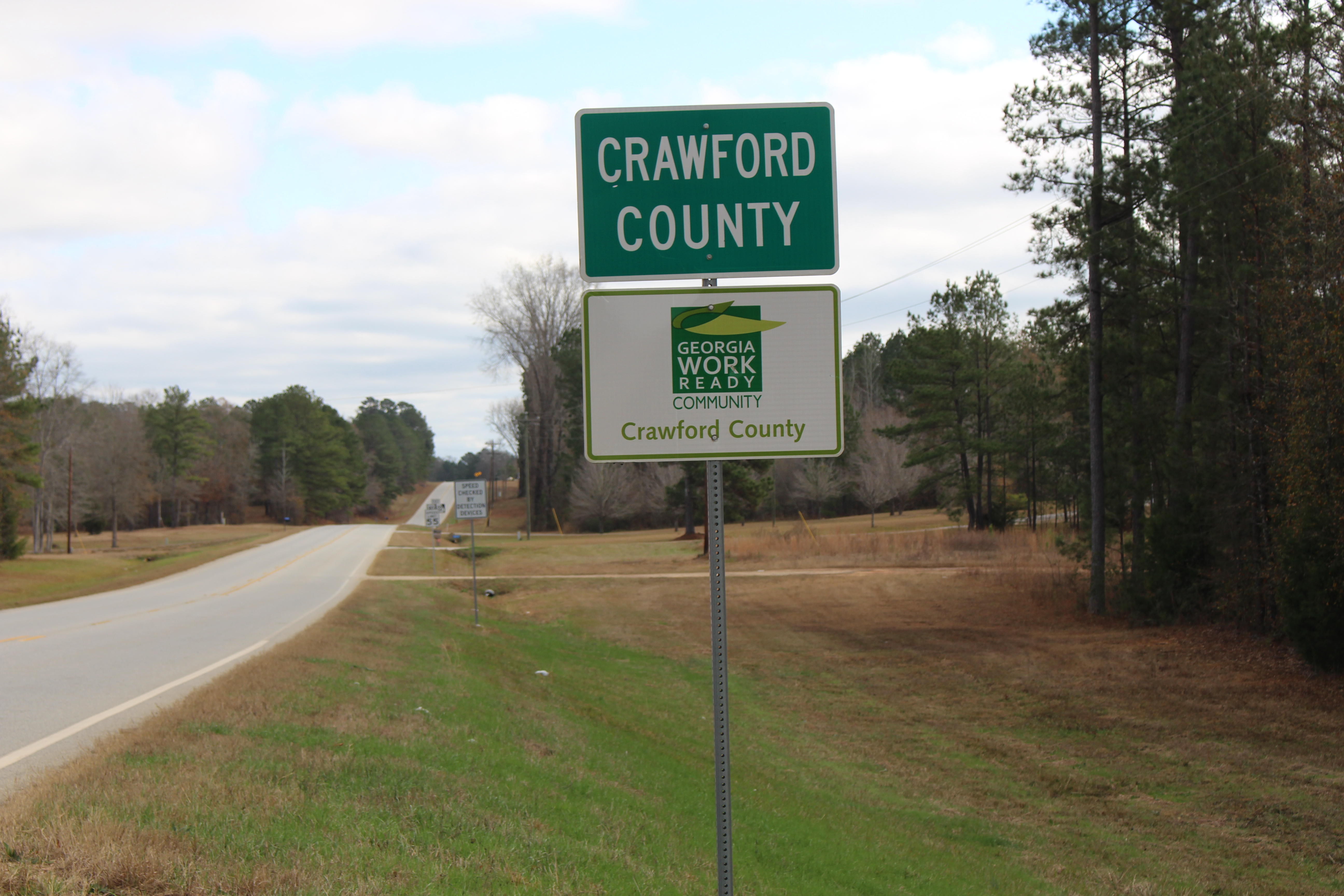
English: Crawford County limit, US80 EB, Upson/Crawford County, Georgia |
| Date | 2017-12-24 12:20:03 |
| Source | Own work |
| Author | Michael Rivera |
32°45′09″N 84°10′20″W / 32.752398°N 84.172354°W
ترخيص
|
تاريخ الملف
اضغط على زمن/تاريخ لرؤية الملف كما بدا في هذا الزمن.
| زمن/تاريخ | صورة مصغرة | الأبعاد | مستخدم | تعليق | |
|---|---|---|---|---|---|
| حالي | ★ مراجعة معتمدة 09:38، 3 نوفمبر 2023 | | 5٬184 × 3٬456 (5٫06 ميجابايت) | Pastakhov (نقاش | مساهمات) | Upload https://upload.wikimedia.org/wikipedia/commons/1/14/Crawford_County_limit%2C_US80_EB.jpg |
لا يمكنك استبدال هذا الملف.
وصلات
لا يوجد صفحات تصل لهذه الصورة.
معلومات الصورة (ميتا)
تصنيفات:
- Pages using gadget WikiMiniAtlas
- Self-published work
- 2017 Georgia (U.S. state) photos by Mjrmtg
- County lines in Georgia (U.S. state)
- County signs in Georgia (U.S. state)
- December 2017 in Georgia (U.S. state)
- December 2017 in road transport in the United States
- Green and white rectangular road signs
- White on green road signs
- Road signs in Crawford County, Georgia
- Road signs in Upson County, Georgia
- Photos by Mjrmtg taken with Canon EOS 700D
- Roads in Crawford County, Georgia
- Roads in Upson County, Georgia
- U.S. Route 80 in Georgia (U.S. state)
- Views from Georgia State Route 22
- United States photographs taken on 2017-12-24
- Road signs in the United States photographed in 2017