ملف:Coulter Motte Hill - geograph.org.uk - 151808.jpg
لا توجد دقة أعلى متوفرة.
Coulter_Motte_Hill_-_geograph.org.uk_-_151808.jpg (640 × 480 بكسل حجم الملف: 87 كيلوبايت، نوع MIME: image/jpeg)
وصف قصير
| Description |
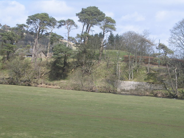
English: Coulter Motte Hill I was a bit disappointed when I was younger having found there was a historic site nearby and cycled out here. It all looked a bit nondescript. I couldn't really imagine a palisade and timber tower atop it in its strategic site at a crossing of the River Clyde. |
| Date | 2006-04-13 |
| Source | From geograph.org.uk |
| Author | Colin Inverarity |
| ⧼wm-license-cc-attribution⧽ (قالب:I18n/Credit line) |
Colin Inverarity / Coulter Motte Hill / |
55°36′32″N 3°33′40″W / 55.6090°N 3.561°W
_heading:45)
| Object location | ملف:Compass-icon bb NE.svg | View all coordinates using: OpenStreetMap |
|---|
_heading:45.00&language=⧼lang⧽)
ترخيص
تاريخ الملف
اضغط على زمن/تاريخ لرؤية الملف كما بدا في هذا الزمن.
| زمن/تاريخ | صورة مصغرة | الأبعاد | مستخدم | تعليق | |
|---|---|---|---|---|---|
| حالي | ★ مراجعة معتمدة 09:14، 18 أكتوبر 2023 | | 640 × 480 (87 كيلوبايت) | Pastakhov (نقاش | مساهمات) | Upload https://upload.wikimedia.org/wikipedia/commons/6/69/Coulter_Motte_Hill_-_geograph.org.uk_-_151808.jpg |
لا يمكنك استبدال هذا الملف.
وصلات
لا يوجد صفحات تصل لهذه الصورة.