ملف:Chevening - geograph.org.uk - 637203.jpg
لا توجد دقة أعلى متوفرة.
Chevening_-_geograph.org.uk_-_637203.jpg (640 × 426 بكسل حجم الملف: 95 كيلوبايت، نوع MIME: image/jpeg)
وصف قصير
| Description |
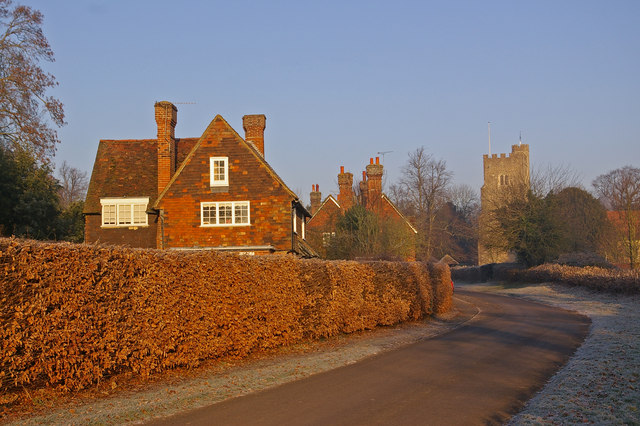
English: Chevening, near to Chevening, Kent, Great Britain.
This small village is set along the eastern boundary of the grounds of Chevening House, the official country residence of the Foreign Secretary. |
| Date | 2007-12-20 |
| Source | From geograph.org.uk; transferred by User:Skinsmoke using geograph_org2commons. |
| Author | Ian Capper |
| ⧼wm-license-information-permission⧽ (⧼wm-license-information-permission-reusing-text⧽) |
Creative Commons Attribution Share-alike license 2.0 |
| Object location | ملف:Compass-icon bb NNW.svg | View all coordinates using: OpenStreetMap |
|---|
_region:GB-ENG_heading:337.00&language=⧼lang⧽)
ترخيص
تاريخ الملف
اضغط على زمن/تاريخ لرؤية الملف كما بدا في هذا الزمن.
| زمن/تاريخ | صورة مصغرة | الأبعاد | مستخدم | تعليق | |
|---|---|---|---|---|---|
| حالي | ★ مراجعة معتمدة 10:45، 11 أكتوبر 2023 | | 640 × 426 (95 كيلوبايت) | Pastakhov (نقاش | مساهمات) | Upload https://upload.wikimedia.org/wikipedia/commons/2/29/Chevening_-_geograph.org.uk_-_637203.jpg |
لا يمكنك استبدال هذا الملف.
وصلات
لا يوجد صفحات تصل لهذه الصورة.