ملف:Charente-Maritime - Saintes arrondissement.svg
حجم معاينة PNG لذلك الملف ذي الامتداد SVG: 514 × 599 بكسل. البعد الآخر: 1٬756 × 2٬048 بكسل.
الملف الأصلي (ملف SVG، أبعاده 1٬010 × 1٬178 بكسل، حجم الملف: 64 كيلوبايت)
وصف قصير
| Description |
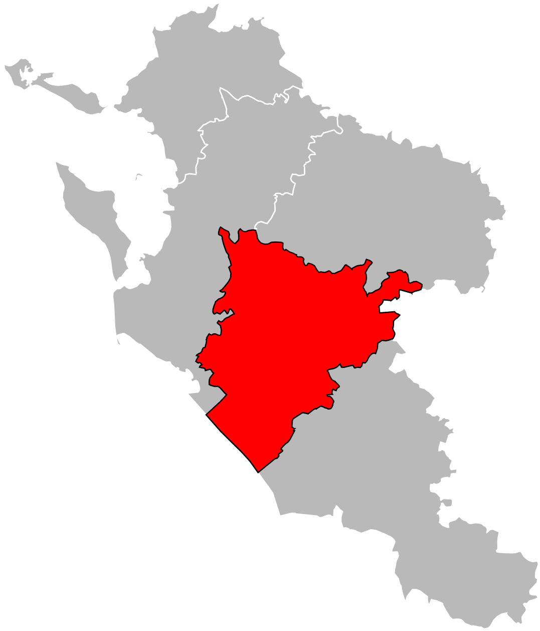
English: Locator map of Arrondissement of Saintes in Charente-Maritime on 2018/1/1. Français : Carte de localisation de l'arrondissement de Saintes dans la Charente-Maritime au 1خطأ لوا في package.lua على السطر 80: module 'Module:Toolbar' not found. janvier 2018. |
| Date | 2012-04-24 |
| Source | Own work |
| Author | Poulpy |
| ⧼wm-license-information-permission⧽ (⧼wm-license-information-permission-reusing-text⧽) |
Coordinates are taken from GEOFLA® Communes, a work of Institut géographique national, licensed under the Licence Ouverte. |
ترخيص
|


تاريخ الملف
اضغط على زمن/تاريخ لرؤية الملف كما بدا في هذا الزمن.
| زمن/تاريخ | صورة مصغرة | الأبعاد | مستخدم | تعليق | |
|---|---|---|---|---|---|
| حالي | ★ مراجعة معتمدة 01:12، 2 ديسمبر 2023 | | 1٬010 × 1٬178 (64 كيلوبايت) | Pastakhov (نقاش | مساهمات) | Upload https://upload.wikimedia.org/wikipedia/commons/1/1e/Charente-Maritime_-_Saintes_arrondissement.svg |
لا يمكنك استبدال هذا الملف.
وصلات
لا يوجد صفحات تصل لهذه الصورة.
