ملف:Carrauntoohil Group from Cruach Mhor.jpg
حجم هذه المعاينة: 800 × 534 بكسل. البعد الآخر: 1٬024 × 683 بكسل.
الملف الأصلي (1٬024 × 683 بكسل حجم الملف: 157 كيلوبايت، نوع MIME: image/jpeg)
وصف قصير
| Description |
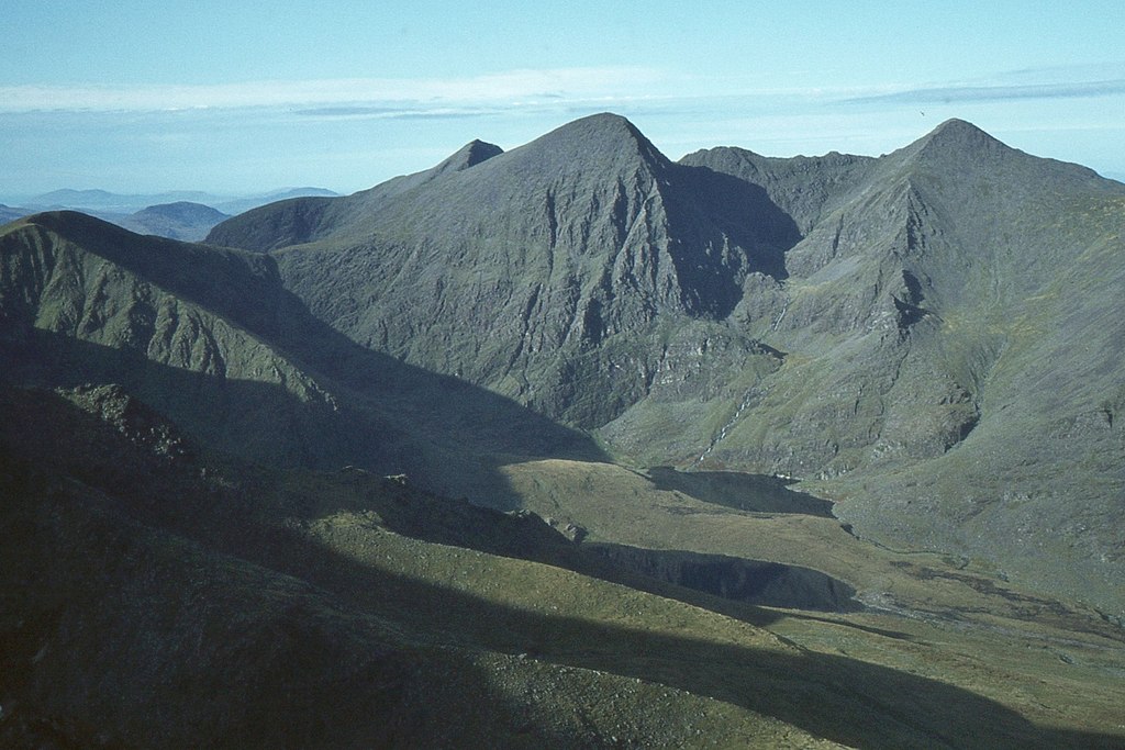
English: Looking into the Eagle's Nest, surrounded by Carrauntoohil, Beenkeragh, and the Hag's Tooth Ridge, as seen from Cruach Mhor, in the MacGillycuddy's Reeks range in County Kerry, Ireland |
| Date | 1978-10-12 |
| Source | http://www.geograph.ie/photo/3431906 |
| Author | Jim Barton |
| ⧼wm-license-cc-attribution⧽ (قالب:I18n/Credit line) |
Jim Barton / Carrauntoohil group from Cruach Mhor / |
52°00′14″N 9°41′18″W / 52.00378°N 9.6884°W
_region:IE_heading:270)
| Object location | ملف:Compass-icon bb W.svg | View all coordinates using: OpenStreetMap |
|---|
_region:IE_heading:270.00&language=⧼lang⧽)
ترخيص
تاريخ الملف
اضغط على زمن/تاريخ لرؤية الملف كما بدا في هذا الزمن.
| زمن/تاريخ | صورة مصغرة | الأبعاد | مستخدم | تعليق | |
|---|---|---|---|---|---|
| حالي | ★ مراجعة معتمدة 07:21، 13 أكتوبر 2023 | | 1٬024 × 683 (157 كيلوبايت) | Pastakhov (نقاش | مساهمات) | Upload https://upload.wikimedia.org/wikipedia/commons/a/ad/Carrauntoohil_Group_from_Cruach_Mhor.jpg |
لا يمكنك استبدال هذا الملف.
وصلات
لا يوجد صفحات تصل لهذه الصورة.