ملف:Blanice, statek (2019) (1).jpg
حجم هذه المعاينة: 800 × 533 بكسل. البعدان الآخران: 2٬560 × 1٬707 بكسل | 4٬272 × 2٬848 بكسل.
الملف الأصلي (4٬272 × 2٬848 بكسل حجم الملف: 6٫3 ميجابايت، نوع MIME: image/jpeg)
وصف قصير
| Description |
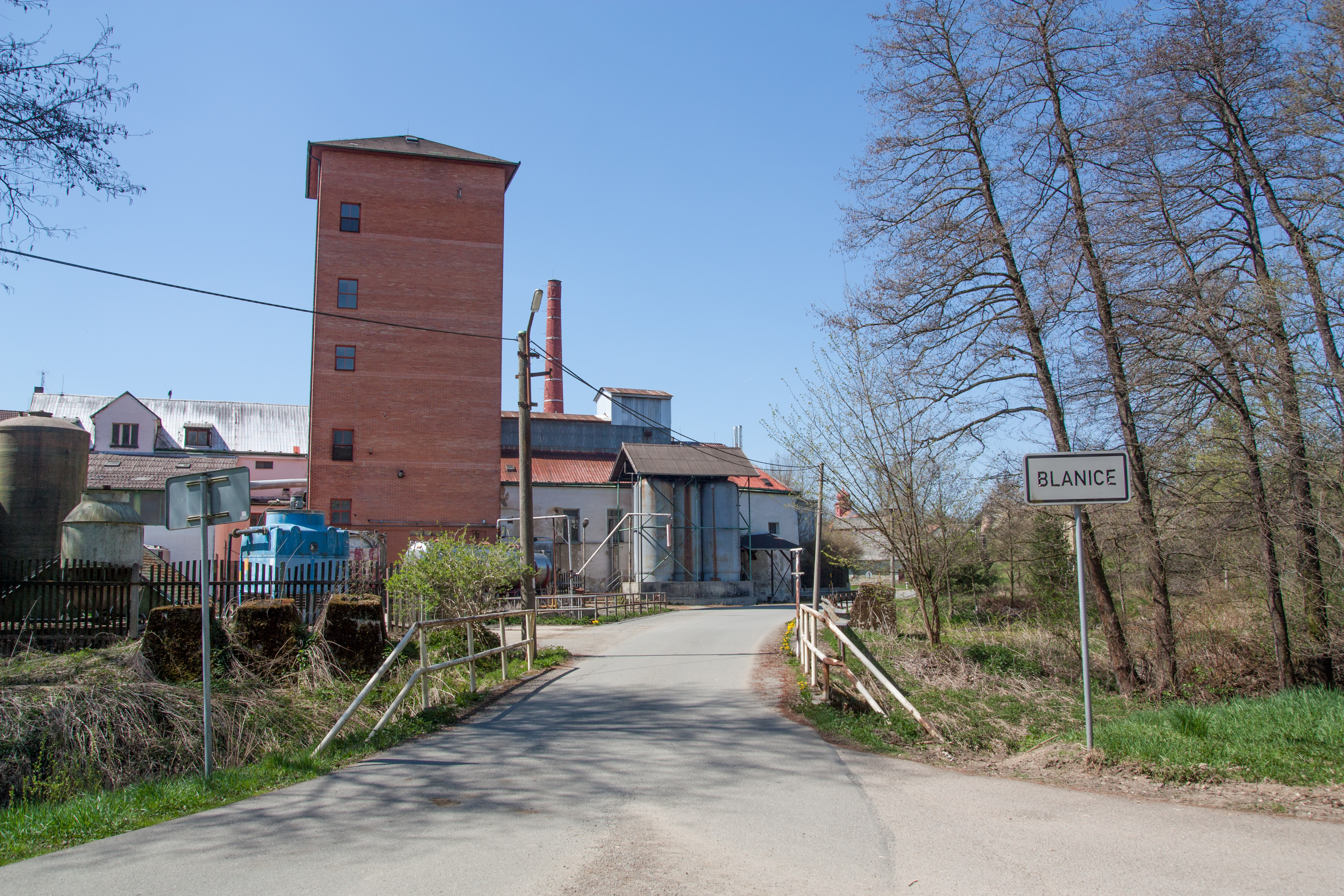
(بالتشيكية) English: Grange in municipality Blanice, Tábor District, South Bohemian Region, Czechia قالب:Wikiexpedice Mladá Vožice |
| Date | 2019-04-20 12:21 |
| Source | Own work |
| Author | صانع:Tadeáš Bednarz |
49°30′21″N 14°47′58″E / 49.50597°N 14.79941°E
_(1).jpg¶ms=49.50597_N_14.79941_E_)
| Object location | | View all coordinates using: OpenStreetMap |
|---|
_(1).jpg¶ms=049.505840_N_0014.798410_E_globe:Earth_class:object_type:object__&language=⧼lang⧽)
ترخيص
|
تاريخ الملف
اضغط على زمن/تاريخ لرؤية الملف كما بدا في هذا الزمن.
| زمن/تاريخ | صورة مصغرة | الأبعاد | مستخدم | تعليق | |
|---|---|---|---|---|---|
| حالي | ★ مراجعة معتمدة 05:18، 9 أكتوبر 2023 | | 4٬272 × 2٬848 (6٫3 ميجابايت) | Pastakhov (نقاش | مساهمات) | Upload https://upload.wikimedia.org/wikipedia/commons/e/eb/Blanice%2C_statek_%282019%29_%281%29.jpg |
لا يمكنك استبدال هذا الملف.
وصلات
لا يوجد صفحات تصل لهذه الصورة.
_(1).jpg&oldid=3032849)