ملف:Ardgay Centre - geograph.org.uk - 946460.jpg
لا توجد دقة أعلى متوفرة.
Ardgay_Centre_-_geograph.org.uk_-_946460.jpg (640 × 442 بكسل حجم الملف: 58 كيلوبايت، نوع MIME: image/jpeg)
وصف قصير
| Description |
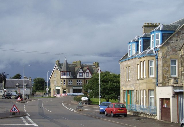
English: Ardgay Centre The "centre" of Ardgay with the Alldale Country Store, a curve in the road and the Lady Ross to the left out of the picture. |
| Date | 2008-09-01 |
| Source | From geograph.org.uk |
| Author | Graeme Smith |
| ⧼wm-license-cc-attribution⧽ (قالب:I18n/Credit line) |
Graeme Smith / Ardgay Centre / |
57°52′52″N 4°21′47″W / 57.88098°N 4.3630°W
_heading:0)
| Object location | ملف:Compass-icon bb N.svg | View all coordinates using: OpenStreetMap |
|---|
_heading:0.00&language=⧼lang⧽)
ترخيص
تاريخ الملف
اضغط على زمن/تاريخ لرؤية الملف كما بدا في هذا الزمن.
| زمن/تاريخ | صورة مصغرة | الأبعاد | مستخدم | تعليق | |
|---|---|---|---|---|---|
| حالي | ★ مراجعة معتمدة 12:29، 25 أكتوبر 2023 | | 640 × 442 (58 كيلوبايت) | Pastakhov (نقاش | مساهمات) | Upload https://upload.wikimedia.org/wikipedia/commons/5/58/Ardgay_Centre_-_geograph.org.uk_-_946460.jpg |
لا يمكنك استبدال هذا الملف.
وصلات
لا يوجد صفحات تصل لهذه الصورة.