ملف:Anjouan topographic map-en.svg

حجم معاينة PNG لذلك الملف ذي الامتداد SVG: 734 × 600 بكسل. البعد الآخر: 2٬507 × 2٬048 بكسل.
الملف الأصلي (ملف SVG، أبعاده 841 × 687 بكسل، حجم الملف: 757 كيلوبايت)
| Description |
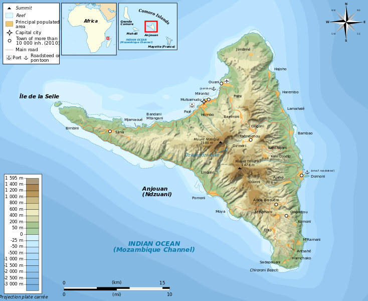
Français : Carte topographique en anglais d'Anjouan Deutsch: Topographische Karte zum Anjouan, in Englische English: Topographic map in English language of Anjouan Español: Mapa topográfico en inglès de Anjouan Italiano: Carta topografica de Anjouan (Japanese)(Portuguese) |
| Date | 2011-03-15 16:19 (UTC) |
| Source | |
| Author |
|
| [This is a retouched picture, which means that it has been digitally altered from its original version. Modifications: translate. The original can be viewed here: Anjouan_topographic_map-fr.svg. Modifications made by Bourrichon.] Error: {{Lang}}: text has italic markup (help)
|
|

قالب:Original upload log
This image is a derivative work of the following images:
- File:Anjouan_topographic_map-fr.svg licensed with Cc-by-sa-3.0,2.5,2.0,1.0, GFDL
- 2011-03-14T19:54:11Z Bourrichon 841x687 (782118 Bytes)
- 2011-03-13T20:31:42Z Bourrichon 841x687 (781398 Bytes)
- 2011-03-13T15:40:15Z Bourrichon 841x687 (781390 Bytes) {{Location|12|13|30|S|44|22|30|E|scale:500000}} {{Information |Description= {{fr|Carte topographique en français d'[[:fr:Anjouan|]]}}{{de|Topographische Karte zum [[:de:Anjouan|]], in Französische}}{{en|Topographic map in F
تاريخ الملف
اضغط على زمن/تاريخ لرؤية الملف كما بدا في هذا الزمن.
| زمن/تاريخ | صورة مصغرة | الأبعاد | مستخدم | تعليق | |
|---|---|---|---|---|---|
| حالي | ★ مراجعة معتمدة 22:03، 28 نوفمبر 2023 | | 841 × 687 (757 كيلوبايت) | Pastakhov (نقاش | مساهمات) | Upload https://upload.wikimedia.org/wikipedia/commons/6/61/Anjouan_topographic_map-en.svg |
لا يمكنك استبدال هذا الملف.
وصلات
لا يوجد صفحات تصل لهذه الصورة.