ملف:Anden8.JPG
حجم هذه المعاينة: 463 × 599 بكسل. البعد الآخر: 1٬292 × 1٬672 بكسل.
الملف الأصلي (1٬292 × 1٬672 بكسل حجم الملف: 514 كيلوبايت، نوع MIME: image/jpeg)
| Description |
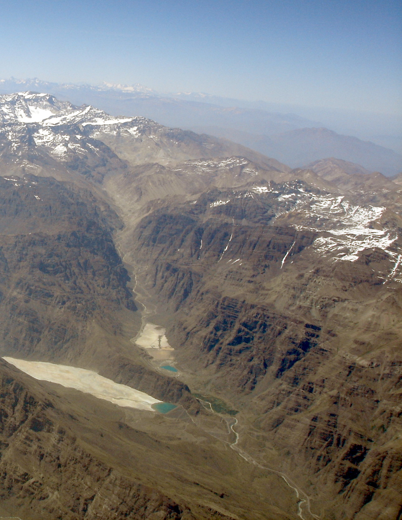
English: Andes 2004, Confluence of the Blanco and Los Leones rivers. Cerro El Plomo is visible in the upper left portion of the image, while Los Leones Dam can be seen in the lower portion of the image. |
||
| Date | 2004 | ||
| Source | Own work | ||
| Author | Rüdiger Meier | ||
| ⧼wm-license-information-permission⧽ (⧼wm-license-information-permission-reusing-text⧽) |
(The author made the picture especially for this purpose and fully agrees to this licenses) License:
|

| Object location | ملف:Compass-icon bb SSW.svg | View all coordinates using: OpenStreetMap |
|---|
تاريخ الملف
اضغط على زمن/تاريخ لرؤية الملف كما بدا في هذا الزمن.
| زمن/تاريخ | صورة مصغرة | الأبعاد | مستخدم | تعليق | |
|---|---|---|---|---|---|
| حالي | ★ مراجعة معتمدة 04:23، 5 نوفمبر 2023 | | 1٬292 × 1٬672 (514 كيلوبايت) | Pastakhov (نقاش | مساهمات) | Upload https://upload.wikimedia.org/wikipedia/commons/7/7e/Anden8.JPG |
لا يمكنك استبدال هذا الملف.
وصلات
لا يوجد صفحات تصل لهذه الصورة.