ملف:Aerial image of the Burg Pappenheim.jpg
حجم هذه المعاينة: 800 × 432 بكسل. البعد الآخر: 3٬700 × 2٬000 بكسل.
الملف الأصلي (3٬700 × 2٬000 بكسل حجم الملف: 2٫94 ميجابايت، نوع MIME: image/jpeg)
وصف قصير
| Description |
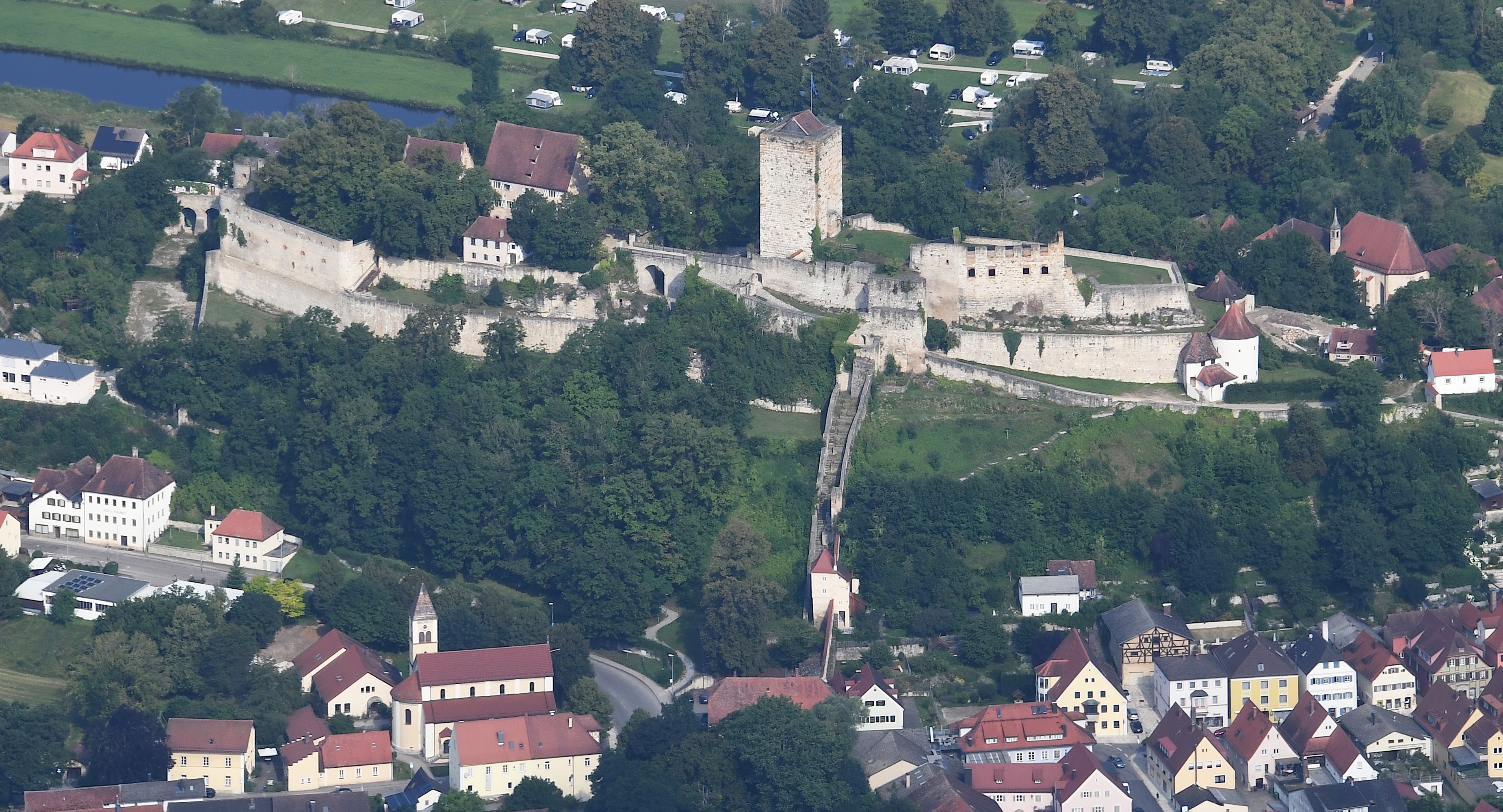
English: Aerial image of the Burg Pappenheim
Deutsch: Luftbild der Burg Pappenheim قالب:Kulturdenkmal |
| Date | 2021-07-23 09:44:51 |
| Source | Own work |
| Author | Carsten Steger |
48°55′04″N 10°59′54″E / 48.917749°N 10.998401°E
| Object location | | View all coordinates using: OpenStreetMap |
|---|
ترخيص
|
تاريخ الملف
اضغط على زمن/تاريخ لرؤية الملف كما بدا في هذا الزمن.
| زمن/تاريخ | صورة مصغرة | الأبعاد | مستخدم | تعليق | |
|---|---|---|---|---|---|
| حالي | ★ مراجعة معتمدة 00:50، 8 أكتوبر 2023 | | 3٬700 × 2٬000 (2٫94 ميجابايت) | Pastakhov (نقاش | مساهمات) | Upload https://upload.wikimedia.org/wikipedia/commons/6/69/Aerial_image_of_the_Burg_Pappenheim.jpg |
لا يمكنك استبدال هذا الملف.
وصلات
لا يوجد صفحات تصل لهذه الصورة.