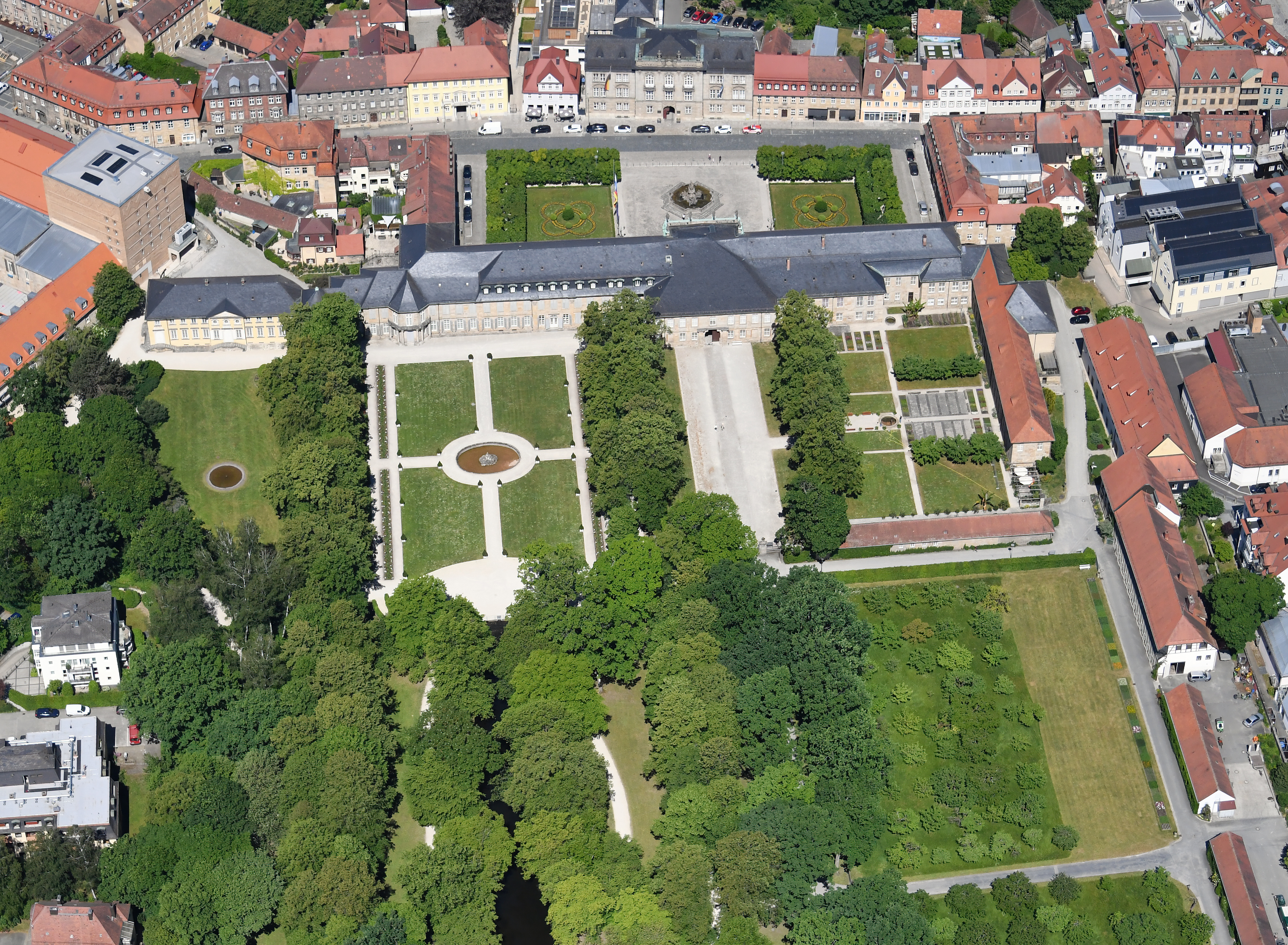
ملف:Aerial image of Neues Schloss Bayreuth (view from the southeast).jpg
حجم هذه المعاينة: 800 × 587 بكسل. البعدان الآخران: 2٬560 × 1٬877 بكسل | 4٬500 × 3٬300 بكسل.
الملف الأصلي (4٬500 × 3٬300 بكسل حجم الملف: 9٫07 ميجابايت، نوع MIME: image/jpeg)
وصف قصير
| Description |
English: Aerial image of Neues Schloss Bayreuth (view from the southeast)
Deutsch: Luftbild des Neuen Schlosses Bayreuth (Ansicht von Südosten) قالب:Kulturdenkmal |
| Date | 2023-05-31 11:10:53 |
| Source | Own work |
| Author | Carsten Steger |
49°56′19″N 11°35′00″E / 49.938611°N 11.583333°E
| Object location |  | View all coordinates using: OpenStreetMap |  |
|---|
ترخيص
|


.jpg¶ms=49.938611_N_11.583333_E_heading:310)
.jpg¶ms=049.941918_N_0011.577442_E_globe:Earth_class:object_type:object__&language=⧼lang⧽)
تاريخ الملف
اضغط على زمن/تاريخ لرؤية الملف كما بدا في هذا الزمن.
| زمن/تاريخ | صورة مصغرة | الأبعاد | مستخدم | تعليق | |
|---|---|---|---|---|---|
| حالي | ★ مراجعة معتمدة 04:01، 2 ديسمبر 2023 | | 4٬500 × 3٬300 (9٫07 ميجابايت) | Pastakhov (نقاش | مساهمات) | Upload https://upload.wikimedia.org/wikipedia/commons/f/f2/Aerial_image_of_Neues_Schloss_Bayreuth_%28view_from_the_southeast%29.jpg |
لا يمكنك استبدال هذا الملف.
وصلات
لا يوجد صفحات تصل لهذه الصورة.
.jpg&oldid=3663439)