ملف:Černíč - náves.JPG

حجم هذه المعاينة: 800 × 600 بكسل. البعدان الآخران: 2٬560 × 1٬920 بكسل | 2٬816 × 2٬112 بكسل.
الملف الأصلي (2٬816 × 2٬112 بكسل حجم الملف: 1٫8 ميجابايت، نوع MIME: image/jpeg)
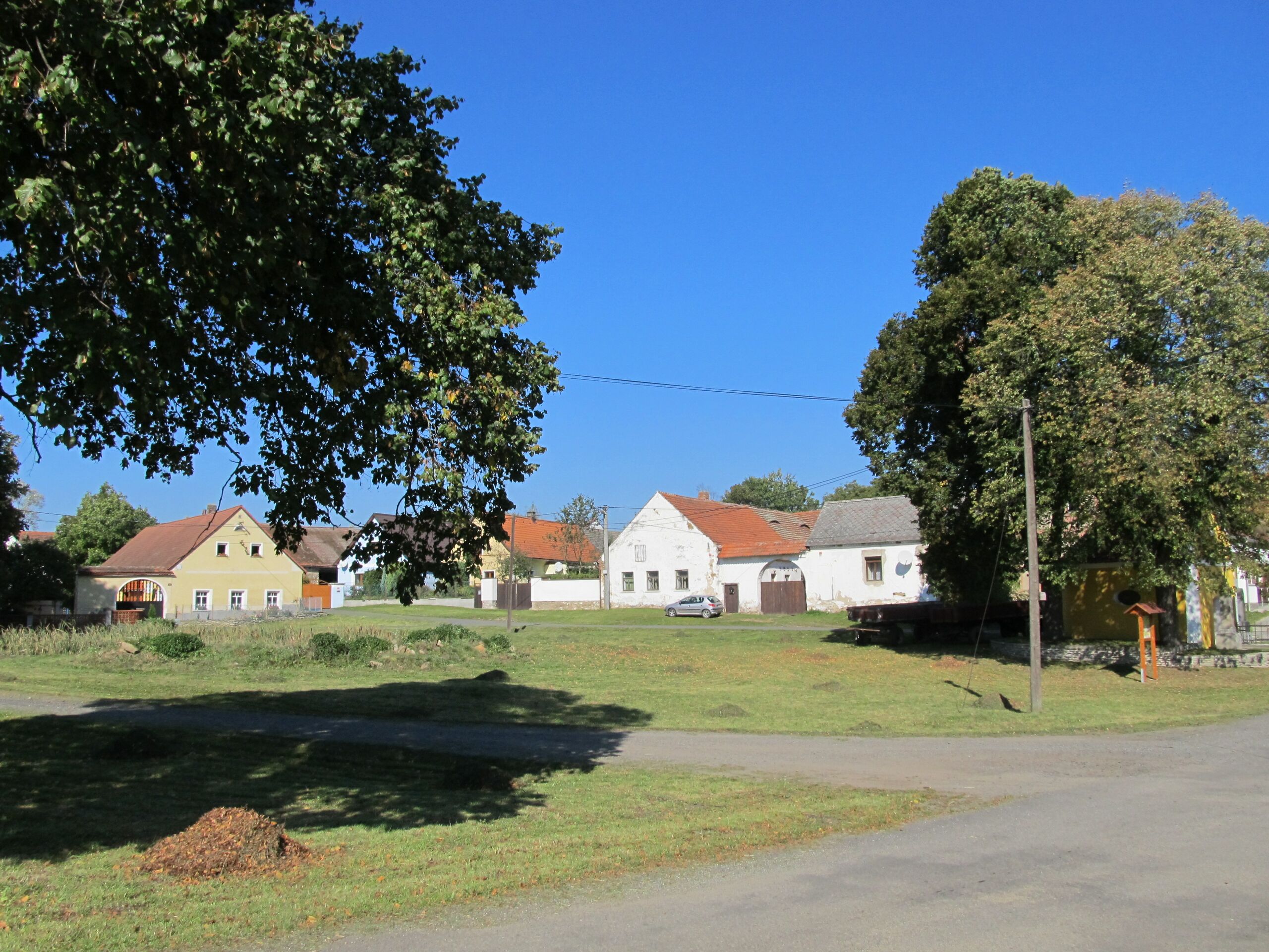
وصف قصير
| Description | (بالتشيكية) |
| Date | 2013-10-03 12:05:00 |
| Source | Own work |
| Author | Krabat77 |
| Object location | | View all coordinates using: OpenStreetMap |
|---|
ترخيص
|
تاريخ الملف
اضغط على زمن/تاريخ لرؤية الملف كما بدا في هذا الزمن.
| زمن/تاريخ | صورة مصغرة | الأبعاد | مستخدم | تعليق | |
|---|---|---|---|---|---|
| حالي | ★ مراجعة معتمدة 16:24، 27 أكتوبر 2023 | | 2٬816 × 2٬112 (1٫8 ميجابايت) | Pastakhov (نقاش | مساهمات) | Upload https://upload.wikimedia.org/wikipedia/commons/f/f0/%C4%8Cern%C3%AD%C4%8D_-_n%C3%A1ves.JPG |
لا يمكنك استبدال هذا الملف.
وصلات
لا يوجد صفحات تصل لهذه الصورة.