بوگوني
بوگوني
Bougouni | |
|---|---|
كوميون ومدينة | |
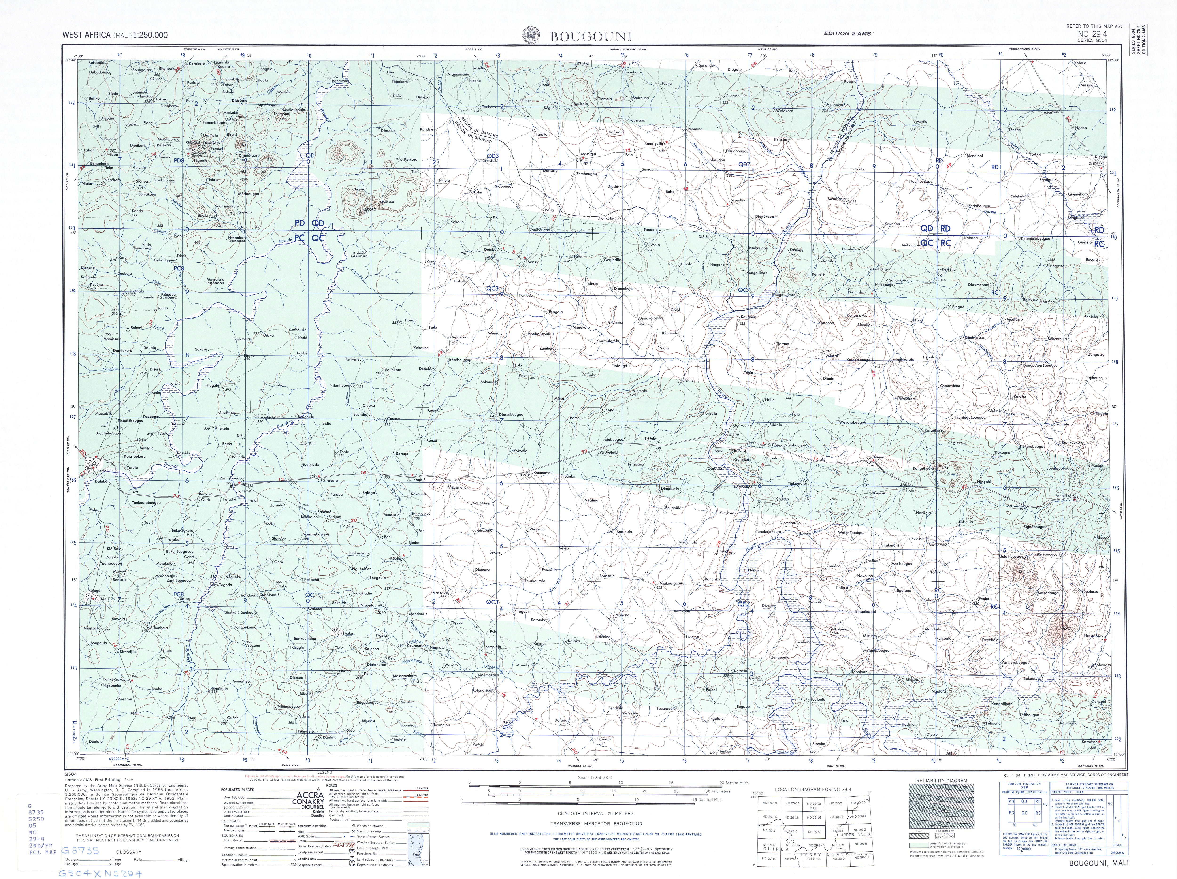
 بوگوني الموقع في مالي | |
| Coordinates: 11°25′0″N 7°29′0″W / 11.41667°N 7.48333°W | |
| البلد | |
| المنطقة | سيكاسو |
| الدائرة | بوگوني |
| Elevation | 344 m (1٬129 ft) |
| Population (2009) | |
• Total | 59٫679 |
| Time zone | UTC+0 (GMT) |


بوگوني (إنگليزية: Bougouni، هو كوميون ومدينة في مالي، المركز الإداري لدائرة بوگوني، التي تقع بدورها في منطقة سيكاسو. تقع بوگوني على بعد 170 كم من [[باماكوي] و210 كم غرب مدينة سيكاسو. تبلغ مساحتها 7 كيلومتر مربع وعدد سكانها 59.679 نسمة بحسب تعداد 2009،[1] معظمهم من الفولا والبمبارا.
التاريخ
Bougouni was the fourteenth commune created by the French colonial authorities of French Sudan. On July 10, 1894, Bougouni became the administrative center of the commune under its first administrator, Lieutenant Gouraud. Bougouni held an important set of colonial archives which were lost in a fire during the March 1991 uprising against President Moussa Traoré.
الجغرافيا
Bougouni, like many cities of Mali, enjoys sufficient rainfall for regular farming. Cotton is produced in the region around the town, making it a center for processing and transport. The Bougouni-Foulaboula Protected Forest (Forêt Classée de Bougouni-Foulaboula) begins just to the southwest of the town.
Bougouni has been a sister city of Aurillac, France, since 1985.
The Cercle of Bougouni includes the communes of Bladié-Tiemela, Bougouni, Chantoula, Danou, Debelin, Defina, Dogo, Domba, Faradielé, Faragouaran, Garolo, Keleya, Kokelé, Kola, Koumantou, Kouroulamini, Meridiela, Ouroun, Sanso, Sibirila, Sido, Tiémala-Banimonotié, Wola, Yinindougou, Yiridougou and Zantiebougou, for a total population of 251,987.
المناخ
Bougouni has a tropical savanna climate (Köppen climate classification: Aw).
| بيانات المناخ لـ Bougouni | |||||||||||||
|---|---|---|---|---|---|---|---|---|---|---|---|---|---|
| الشهر | ينا | فب | مار | أبر | ماي | يون | يول | أغس | سبت | أكت | نوف | ديس | السنة |
| متوسط القصوى اليومية °س (°ف) | 33.5 (92.3) |
36.0 (96.8) |
37.5 (99.5) |
37.3 (99.1) |
35.5 (95.9) |
32.7 (90.9) |
30.4 (86.7) |
29.7 (85.5) |
30.7 (87.3) |
33.0 (91.4) |
34.2 (93.6) |
33.0 (91.4) |
33.6 (92.5) |
| متوسط الدنيا اليومية °س (°ف) | 16.0 (60.8) |
19.1 (66.4) |
22.4 (72.3) |
24.7 (76.5) |
24.2 (75.6) |
22.5 (72.5) |
21.6 (70.9) |
21.4 (70.5) |
21.3 (70.3) |
21.3 (70.3) |
18.3 (64.9) |
15.6 (60.1) |
20.7 (69.3) |
| متوسط تساقط الأمطار mm (inches) | 0.4 (0.02) |
0.4 (0.02) |
8.9 (0.35) |
45.0 (1.77) |
100.6 (3.96) |
146.8 (5.78) |
246 (9.7) |
283.9 (11.18) |
206.2 (8.12) |
72.1 (2.84) |
6.5 (0.26) |
0.7 (0.03) |
1٬117٫5 (44.03) |
| Average rainy days | 0 | 0 | 1 | 3 | 8 | 12 | 15 | 17 | 14 | 7 | 1 | 0 | 78 |
| المتوسط اليومي ساعات سطوع الشمس | 8.8 | 8.7 | 8.1 | 7.8 | 8.1 | 7.9 | 6.8 | 6.3 | 7.1 | 8.1 | 8.6 | 8.4 | 7.9 |
| Source: Deutscher Wetterdienst[2] | |||||||||||||
الاقتصاد
في بوگوني، يوجد منجم گولامينا لإنتاج الليثيوم، الذي من المتوقع أن يبدأ انتاجه في أوائل 2024.
انظر أيضاً
المصادر
- ^ "Previsions de desserte des communes pour la periode de 2001-2005" (PDF). Mali Reforme Telecom. Archived from the original (PDF) on August 29, 2004. Retrieved February 12, 2009.
- ^ "Climate Averages for Bougouni" (PDF) (in الألمانية). DWD. Retrieved 7 September 2022.
- Bougouni, Mali, Falling Rain.
- This article is based on a translation of the corresponding article from the French Wikipedia, retrieved on June 30, 2005.
- Cheich Abd El Kader Bougouni, ma ville natale ! Archived 2011-05-27 at the Wayback Machine, 1999-2008 - Afribone Mali SA.
- "Mother and Child [Mali, Bougouni or Dioila area; Bamana peoples (1979.206.121)". In Timeline of Art History. New York: The Metropolitan Museum of Art, 2000–. (October 2006).
- Bougouni Mosque: ArchNet listing.
- Geographic features & Photographs around Forêt Classée de Bougouni-Foulaboula, in Mali.
- Bougouni Village Raw Cotton, Alibaba.com company profile.
- Bougouni Cercle listings[dead link], African Development Information Services database.
- Action Santé et Education pour Bougouni - ASEB, Bougouni based health services cooperative/ngo, 2006.
- 1957 area map of Bougouni Cercle, US Army.
- Pages using gadget WikiMiniAtlas
- CS1 الألمانية-language sources (de)
- Short description is different from Wikidata
- Coordinates on Wikidata
- Articles containing إنگليزية-language text
- Pages using Lang-xx templates
- Articles with dead external links from November 2016
- أماكن مأهولة في منطقة سيكاسو
- غرب أفريقيا الفرنسي