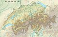
ملف:Switzerland location map.svg

حجم معاينة PNG لذلك الملف ذي الامتداد SVG: 800 × 513 بكسل. البعد الآخر: 2٬560 × 1٬642 بكسل.
الملف الأصلي (ملف SVG، أبعاده 1٬349 × 865 بكسل، حجم الملف: 258 كيلوبايت)
وصف قصير
قالب:Image generation
| Description |
Deutsch: Positionskarte der Schweiz
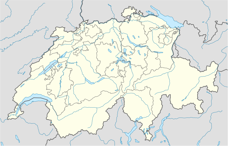
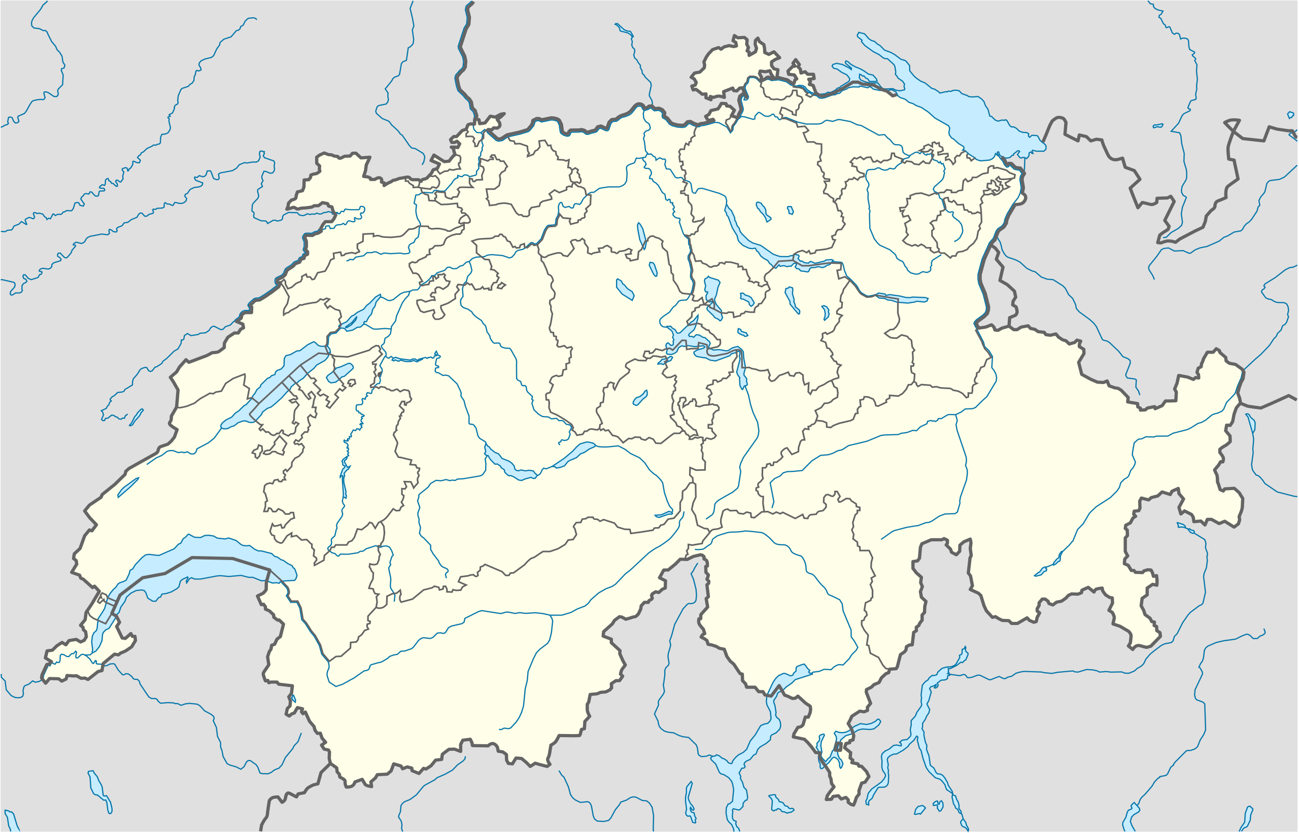
Quadratische Plattkarte, N-S-Streckung 146,138 %. Geographische Begrenzung der Karte:
English: Location map of Switzerland
Equirectangular projection, N/S stretching 146,138 %. Geographic limits of the map:
|
| Date | 2009-06-16 |
| Source |
Own work, using
|
| Author | NordNordWest |
| ⧼wm-license-information-other-versions⧽ |
|
_location_map.svg&filetimestamp=20180524131500&)

ترخيص
|
Gallery
-
 relief
 -
 default
 -
image1
-
image2
-
relief1
-
relief2
-
relief3

تاريخ الملف
اضغط على زمن/تاريخ لرؤية الملف كما بدا في هذا الزمن.
| زمن/تاريخ | صورة مصغرة | الأبعاد | مستخدم | تعليق | |
|---|---|---|---|---|---|
| حالي | ★ مراجعة معتمدة 15:56، 30 نوفمبر 2023 | | 1٬349 × 865 (258 كيلوبايت) | Pastakhov (نقاش | مساهمات) | Upload https://upload.wikimedia.org/wikipedia/commons/2/28/Switzerland_location_map.svg |
لا يمكنك استبدال هذا الملف.
وصلات
الصفحات التالية تحتوي على وصلة لهذه الصورة: