ملف:St James Walkway, New Zealand (35).jpg
حجم هذه المعاينة: 800 × 474 بكسل. البعدان الآخران: 2٬560 × 1٬518 بكسل | 5٬184 × 3٬074 بكسل.
الملف الأصلي (5٬184 × 3٬074 بكسل حجم الملف: 8٫34 ميجابايت، نوع MIME: image/jpeg)
وصف قصير
| Description |
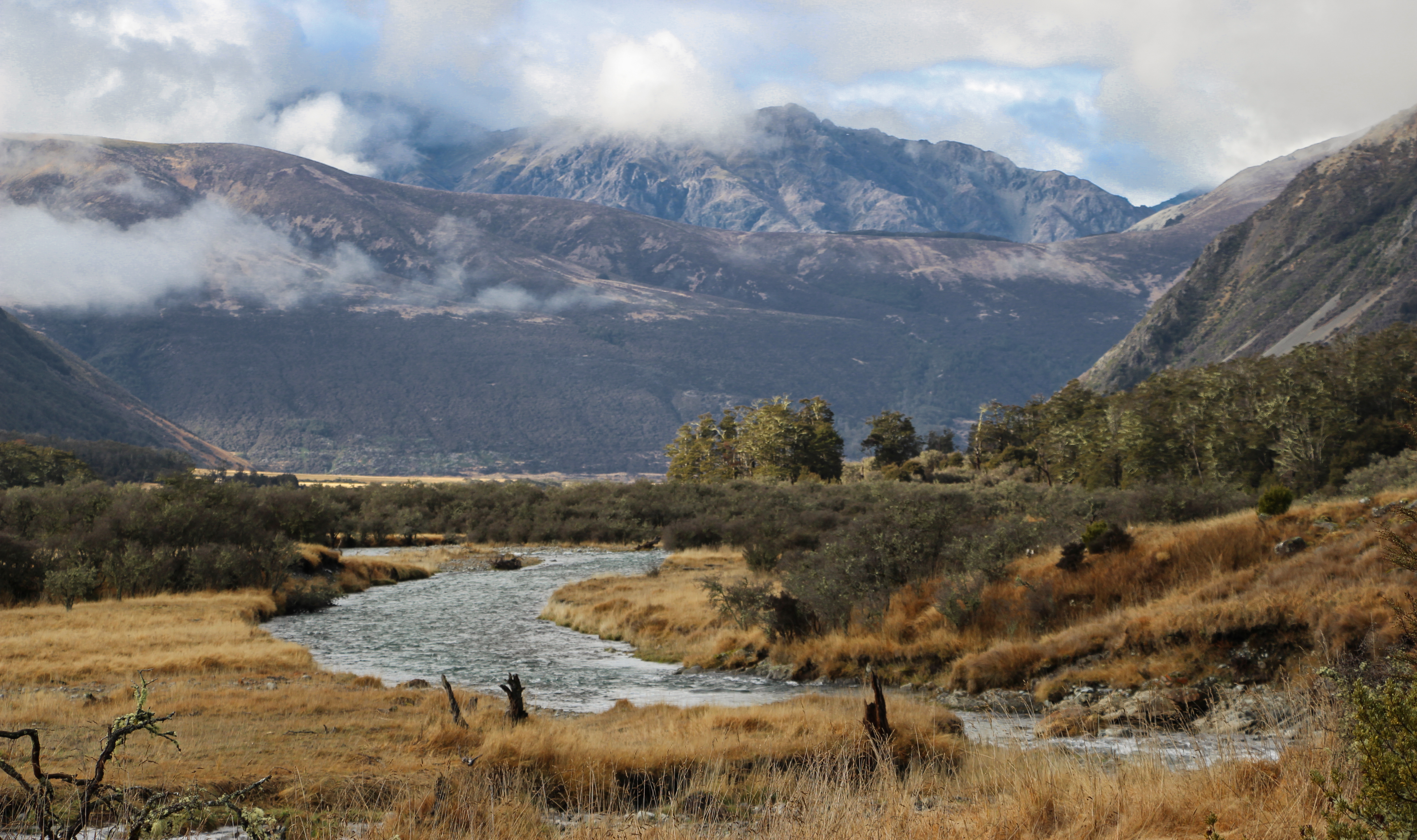
English: Ada River. Photo taken from the track between Ada Pass and Christopher Cullers Hut (historic). St James Walkway, New Zealand |
| Date | 2016-06-28 12:22:14 |
| Source | Own work |
| Author | مستخدم:Podzemnik/c |
| Object location |  | View all coordinates using: OpenStreetMap |  |
|---|
ترخيص
|


.jpg¶ms=-42.396403_N_0172.453078_E_globe:Earth_class:object_type:object_dim:8000_&language=⧼lang⧽)
تاريخ الملف
اضغط على زمن/تاريخ لرؤية الملف كما بدا في هذا الزمن.
| زمن/تاريخ | صورة مصغرة | الأبعاد | مستخدم | تعليق | |
|---|---|---|---|---|---|
| حالي | ★ مراجعة معتمدة 14:51، 14 أكتوبر 2023 | | 5٬184 × 3٬074 (8٫34 ميجابايت) | Pastakhov (نقاش | مساهمات) | Upload https://upload.wikimedia.org/wikipedia/commons/d/d9/St_James_Walkway%2C_New_Zealand_%2835%29.jpg |
لا يمكنك استبدال هذا الملف.
وصلات
لا يوجد صفحات تصل لهذه الصورة.
.jpg&oldid=3119397)