ملف:Saxony relief location map.jpg
حجم هذه المعاينة: 800 × 583 بكسل. البعد الآخر: 1٬838 × 1٬340 بكسل.
الملف الأصلي (1٬838 × 1٬340 بكسل حجم الملف: 901 كيلوبايت، نوع MIME: image/jpeg)
وصف قصير
| Description |
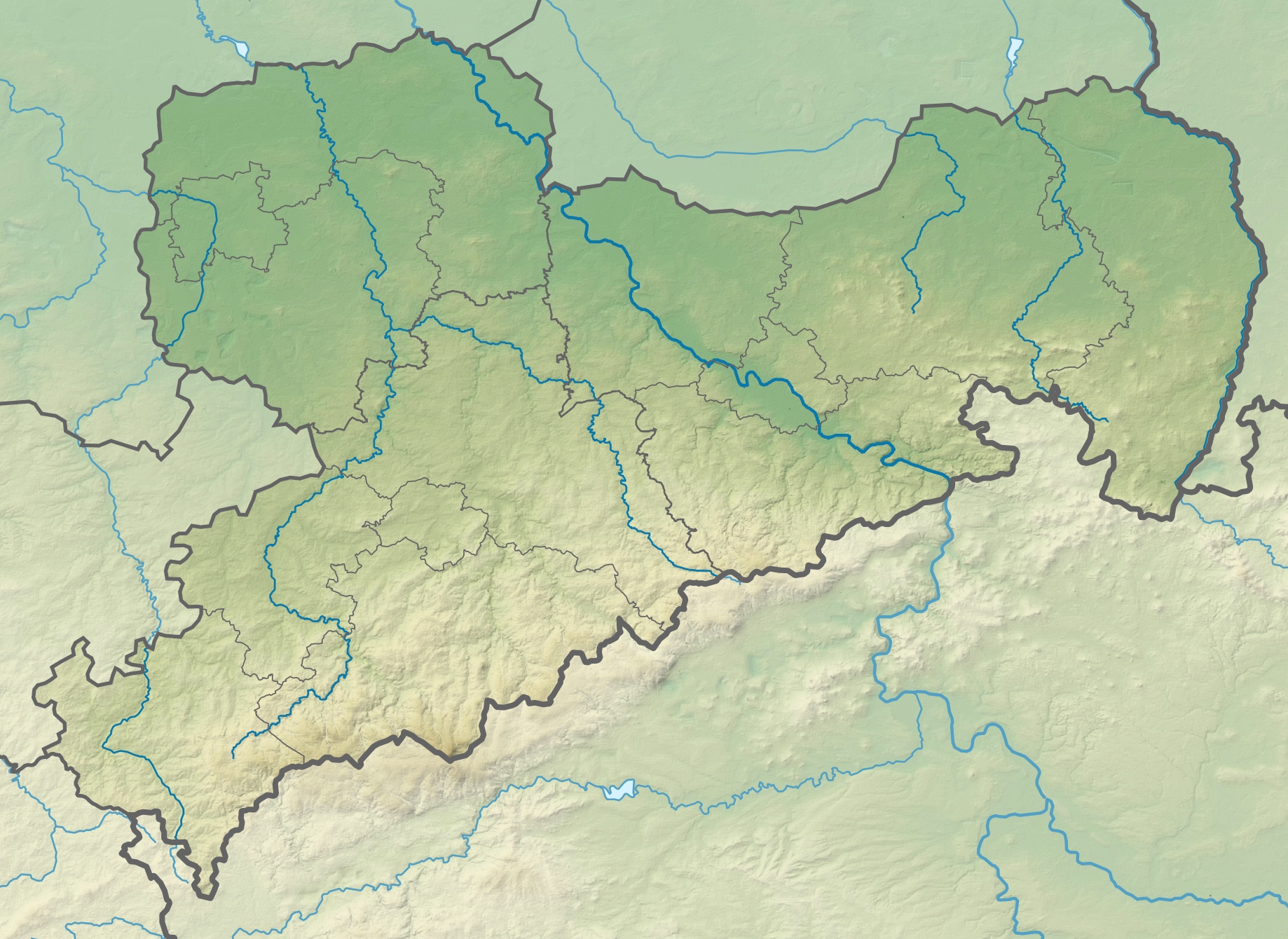
Deutsch: Physische Positionskarte Sachsen, Deutschland. Geographische Begrenzung der Karte:
English: Physical Location map Saxony, Germany. Geographic limits of the map:
|
| Date | 2009-10 |
| Source |
Own work |
| Author | Grundkarte TUBS, Relief Alexrk2 |
| ⧼wm-license-information-other-versions⧽ |
|

ترخيص
|

تاريخ الملف
اضغط على زمن/تاريخ لرؤية الملف كما بدا في هذا الزمن.
| زمن/تاريخ | صورة مصغرة | الأبعاد | مستخدم | تعليق | |
|---|---|---|---|---|---|
| حالي | ★ مراجعة معتمدة 19:05، 8 نوفمبر 2023 | | 1٬838 × 1٬340 (901 كيلوبايت) | Pastakhov (نقاش | مساهمات) | Upload https://upload.wikimedia.org/wikipedia/commons/4/41/Saxony_relief_location_map.jpg |
لا يمكنك استبدال هذا الملف.
وصلات
الصفحات التالية تحتوي على وصلة لهذه الصورة: