ملف:Samal,Bataanjf3547 01.JPG
حجم هذه المعاينة: 800 × 600 بكسل. البعدان الآخران: 2٬560 × 1٬920 بكسل | 4٬608 × 3٬456 بكسل.
الملف الأصلي (4٬608 × 3٬456 بكسل حجم الملف: 5٫4 ميجابايت، نوع MIME: image/jpeg)
وصف قصير
| Description |
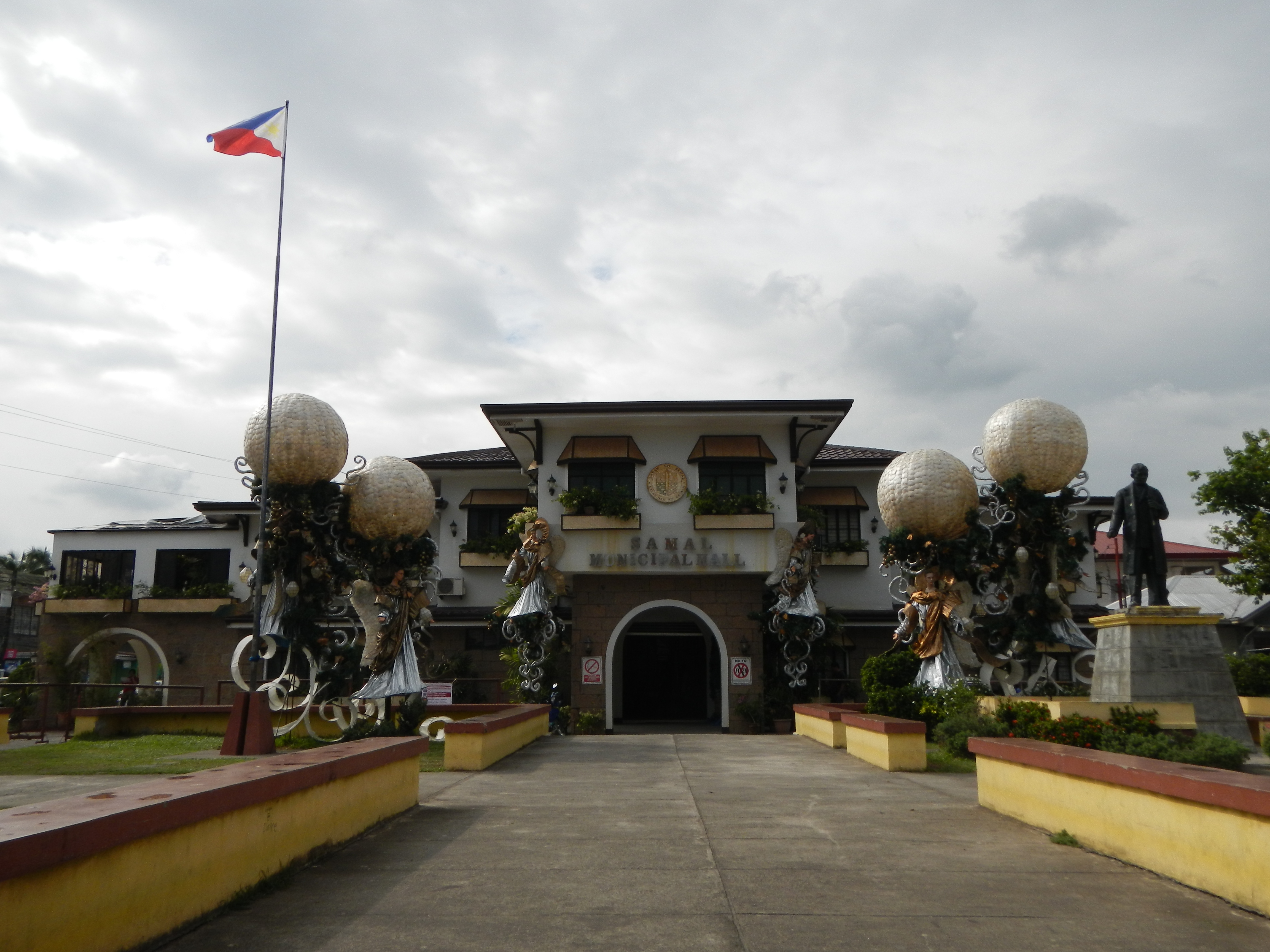
English: Samal, Bataan[1][2]Eastern side of Bataan, Samal is bounded by the municipalities of Orani, Abucay, Mt. Natib and Manila Bay. Its total population is 45,677 with main products: palay, corn, vegetable, fruits, rootcrops, coffee and cutflowers, livestock, poultry and aquatic resources such as shellfish, crabs, prawns, shrimps and different species of fish. Coordinates: 14°46'3"N 120°29'8"E[3][4][5] |
| Date | 2013-01-22 14:43:17 |
| Source | Own work |
| Author | Ramon FVelasquez |
ترخيص
|
تاريخ الملف
اضغط على زمن/تاريخ لرؤية الملف كما بدا في هذا الزمن.
| زمن/تاريخ | صورة مصغرة | الأبعاد | مستخدم | تعليق | |
|---|---|---|---|---|---|
| حالي | ★ مراجعة معتمدة 18:15، 30 نوفمبر 2023 | | 4٬608 × 3٬456 (5٫4 ميجابايت) | Pastakhov (نقاش | مساهمات) | Upload https://upload.wikimedia.org/wikipedia/commons/2/20/Samal%2CBataanjf3547_01.JPG |
لا يمكنك استبدال هذا الملف.
وصلات
لا يوجد صفحات تصل لهذه الصورة.